Travel blog OnTourWorld
  • HOME
  • TRAVEL REPORTS
    • Europe
      • Spain
      • Portugal
      • France
      • Ireland
      • Italy
      • Croatia
      • Netherlands
      • Austria
    • Africa
      • South Africa
      • Mauritius
      • Seychelles
      • Egypt
    • America
      • Hawaii
      • New England
      • New York
      • Arizona
      • Ecuador
      • Galapagos
      • Canada
      • California
      • Mexico
      • Dominican Republic
      • Puerto Rico
      • Bermudas
      • Bahamas
    • Asia
      • Bali
      • Hong Kong
      • Java
      • Maldives
      • Philippines
      • Singapore
      • Sri Lanka
      • Thailand
      • Turkey
    • Oceania
      • Australia
      • New Zealand
      • South Sea
  • CITY TOURS
  • Country information
  • Forum
  • SERVICE
    • Videos
    • Imprint
    • Data protection
  • German
  • English
OnTourWorld Südafrika Cape of Good Hope
South Africa

South Africa – Cape of Good Hope

by Joe OnTour 2. July 2017
written by Joe OnTour

South Africa – Cape of Good Hope

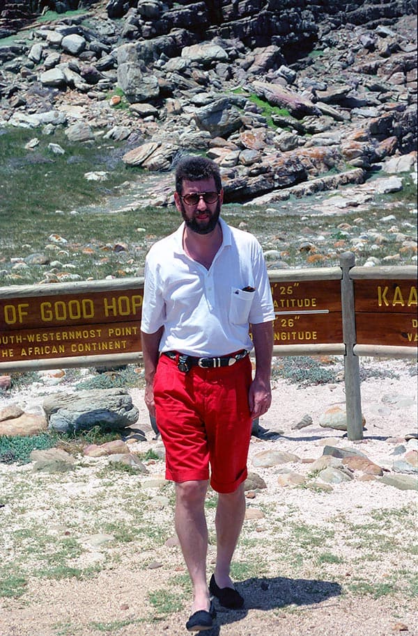
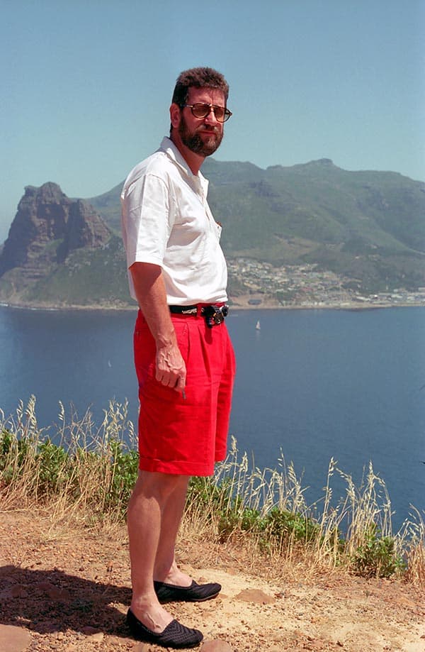
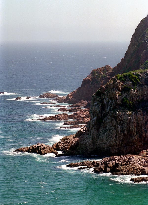
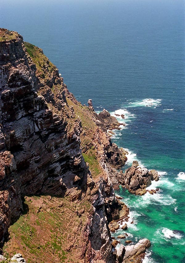
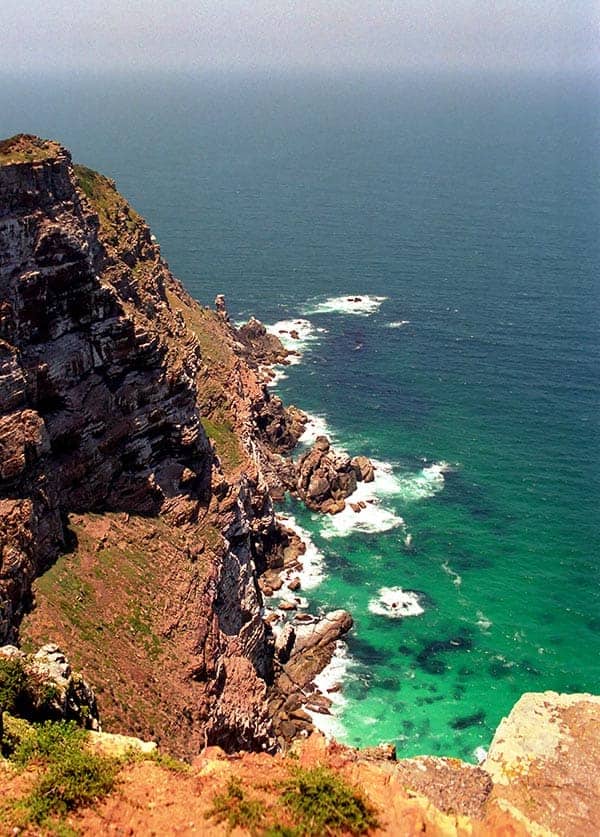
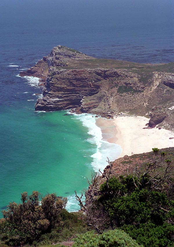
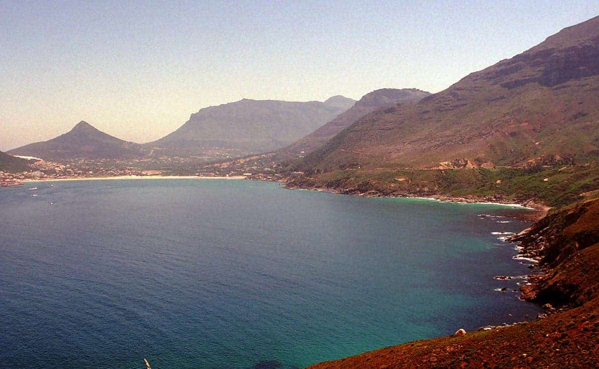
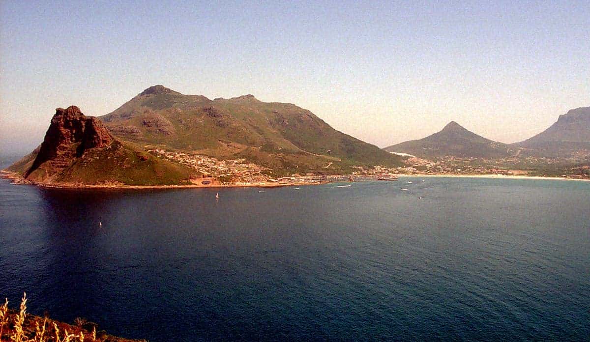
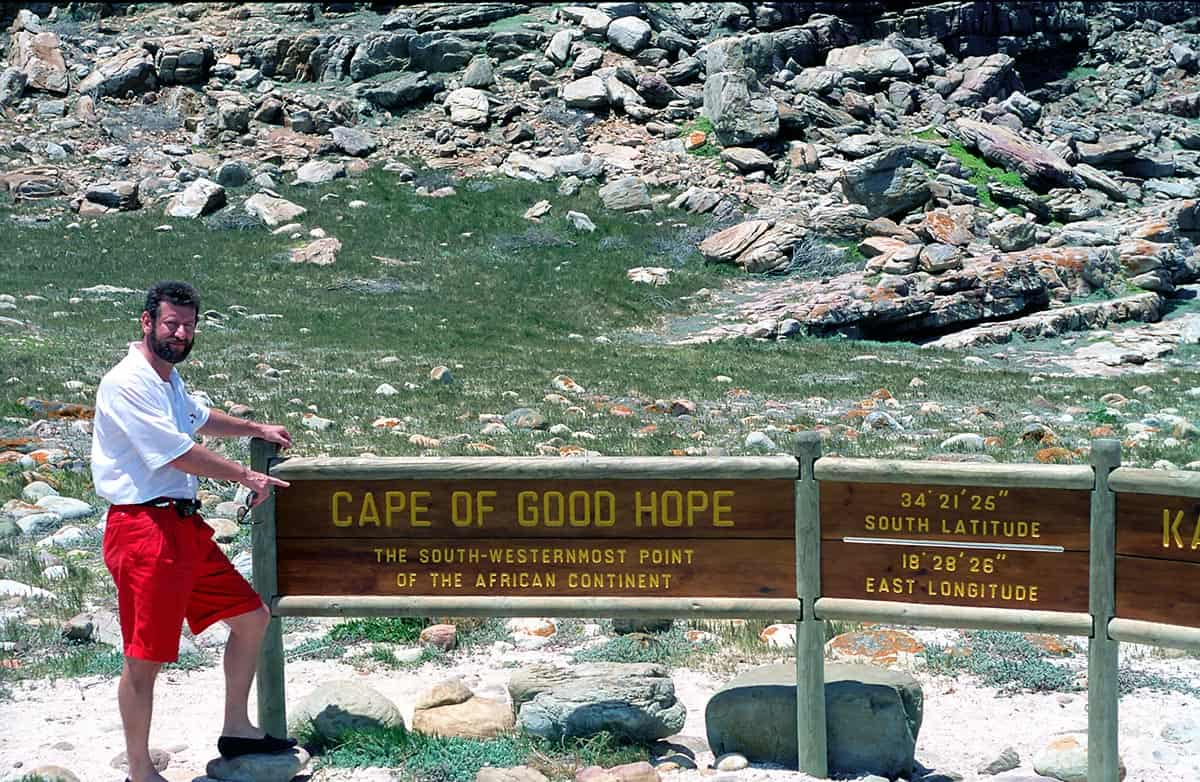
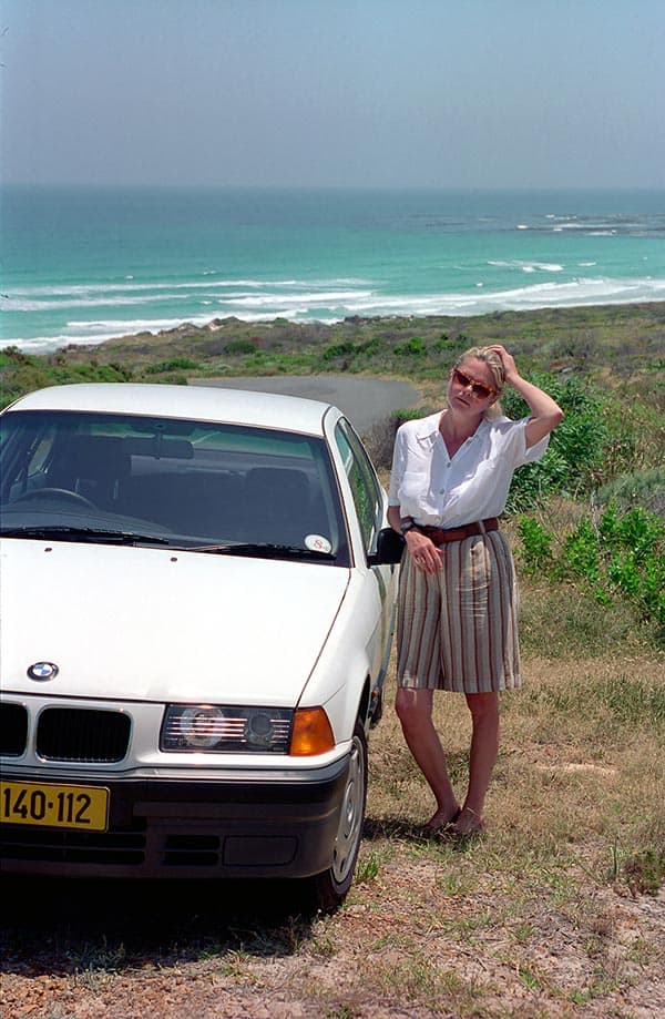
South of Cape Town is the Cape Peninsula with the Cape of Good Hope Nature Reserve, a nature reserve since 1939 that is home to antelopes, ostriches, zebras and baboons, and Cape Point, 200 metres above sea level, a little further northeast. It offers great views over the entire Falsebay and the roaring surf at the Cape of Storms. This is where the legend of the Flying Dutchman originated, when in 1641 the Dutch captain Hendrick van der Decken was on his way from the Spice Islands of the East Indian Moluccas to Europe. He fought the rough seas off Cape Point. When the ship threatened to sink, the captain made a pact with the devil in his panic. Since that time, the Dutchman’s ghost ship and its ghost crew have been cruising the seas and bringing bad luck to those who see it.

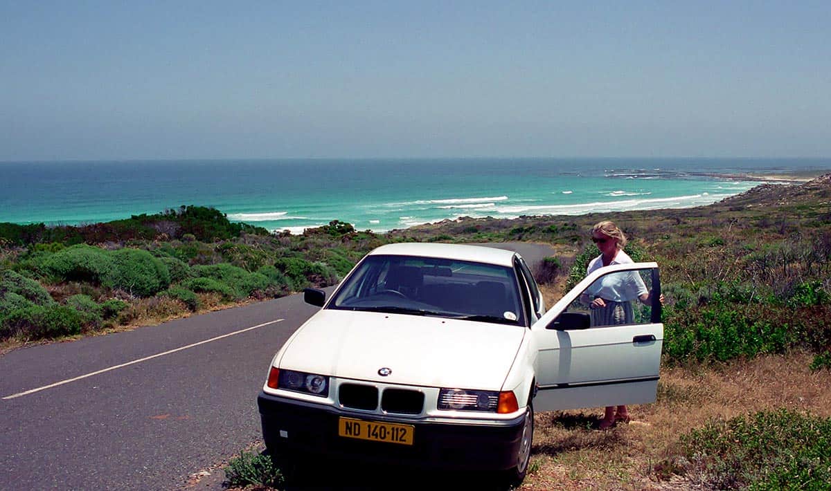
Our drive led along the Atlantic coast to Cape Point and the Cape of Good Hope Nature Reserve. Neither cape is really the southernmost point of Africa. It is about 150 km further to the southeast. At Cape Agulhas, the two great seas Atlantic and Indian Ocean meet. For the early seafarers, however, the Cape of Good Hope was the turning point. Only when you had passed this “Cape of Storms” had you made it.

Our approach ends in a large parking lot, where there is a snack bar and an exclusive restaurant with a wonderful sea view.

An unforgettable spectacle is offered every year between May and December at Hermanus. To give birth to their young, the humpback whales are the first to appear in the bay in May.

About a month later, the first gray whales also reach shelter from the storms of the Atlantic. The whales come close to the coast, alone or in small groups, to mate or calve and raise their young. The mountainous Cape Peninsula with its numerous idyllic valleys, bays and beaches is an impressive experience for nature lovers.

Nowhere in the world has comparable vegetation of orchids, heather flora, ferns and bizarre protea fields, the national plants of South Africa, been established. The narrow peninsula tapers to the rock at Cape Point, which drops steeply into the roaring waters of the Atlantic Ocean. A little further to the southeast is Cape Agulhas, the southernmost point of the continent.Treacherous rock needles, to which this cape owes its name, have always spread fear and terror among seasoned sailors. And rightly so, because many a ship met its end there. The wrecks can now be seen in the Shipwreck Museum in Bredasdorp. Cape Agulhas is home to the second oldest lighthouse in South Africa.

Pictures South Africa – Cape of Good Hope
Suedafrika Cape of Good Hope 017
OnTourWorld Südafrika Cape of Good Hope
Suedafrika Cape of Good Hope 002
OnTourWorld Südafrika Cape of Good Hope
Questions about South Africa as a travel destination?

You can get the answers in the Africa forum!

2. July 2017 0 comments
0 FacebookTwitterPinterestEmail
OnTourWorld Südafrika Gardenroute
South Africa

South Africa Garden Route

by Joe OnTour 2. July 2017
written by Joe OnTour

Destination South Africa – Garden Route

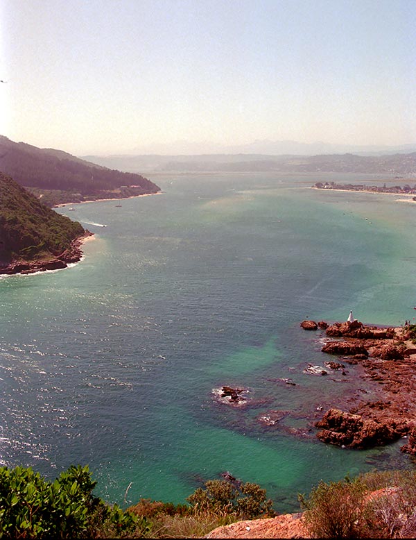
Our path leads us along the Garden Route. The Outeniqua Mountains, together with the Tsitsikamma Mountains, form the northern edge of the Garden Route. These mountain ranges are the main cause of the relatively humid climate (and higher rainfall) in the southern coastal region, which has led to the flourishing of native forests and partly lush vegetation. The biodiversity of the plant world is high, but not as high as in the western Cape region. The Garden Route therefore bears its name solely because of the higher rainfall and the forests, not because of the biodiversity of the plants. Continue through the Tsitsikamma Coastal Park and the Swart Mountains with the underground Cango Caves. The extraordinary variety of plants has given this route its name. The Jeffrey’s Bay region is particularly popular with surfers. At St. Francis Bay you will find wide beaches for swimming and shelling. The lagoon at Paradise Beach is a bird sanctuary with flamingos and swans. Between Knysna and George lies an impressive lake district. George owes its nickname Garden City to the huge tree population. Near Oudtshoorn we visited several ostrich farms.

The Garden Route is a must-see for anyone holidaying in South Africa. Knysna, Mossel Bay, George, Plettenberg Bay and Oudtshoorn in the Little Karoo and the numerous nature parks along the Garden Route offer everything that belongs to a stay in South Africa.

The Garden Route is one of the most beautiful and popular destinations in South Africa. It starts at Gouritsmond (southwest of Mossel Bay) to the eastern end of Tsitsikamma National Park. However, the most interesting and impressive section of the route is between Mossel Bay and the Storms River estuary in Tsitsikamma National Park.

On the beautiful coasts of the Garden Route, steep rocky cliffs alternate with picturesque bays, extensive sandy beaches with dense, evergreen rainforest. Numerous rivers originate in the adjacent Outeniqua and Tsitsikamma mountains, which meander in wide arcs through green coastal plains and finally flow into the Indian Ocean.

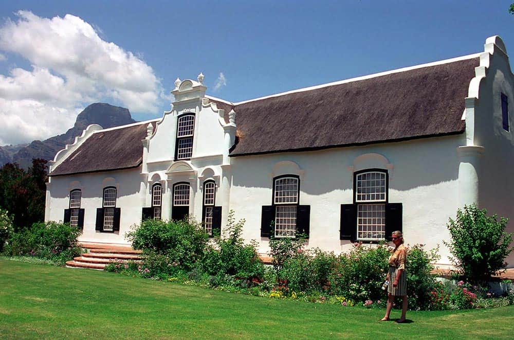
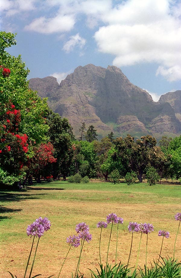
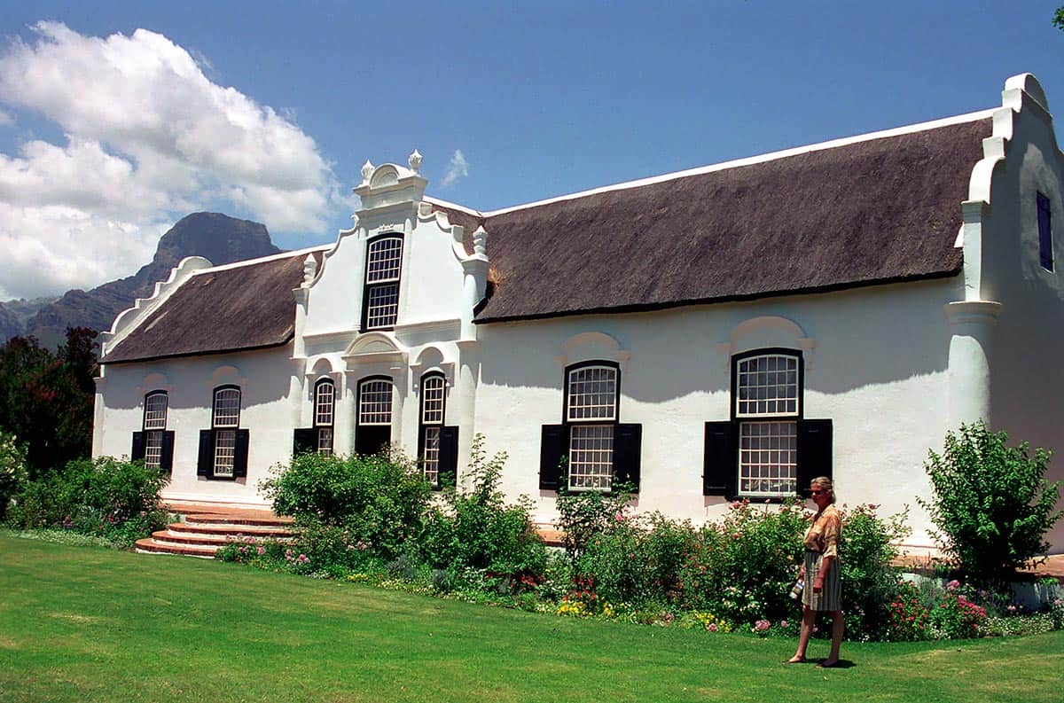
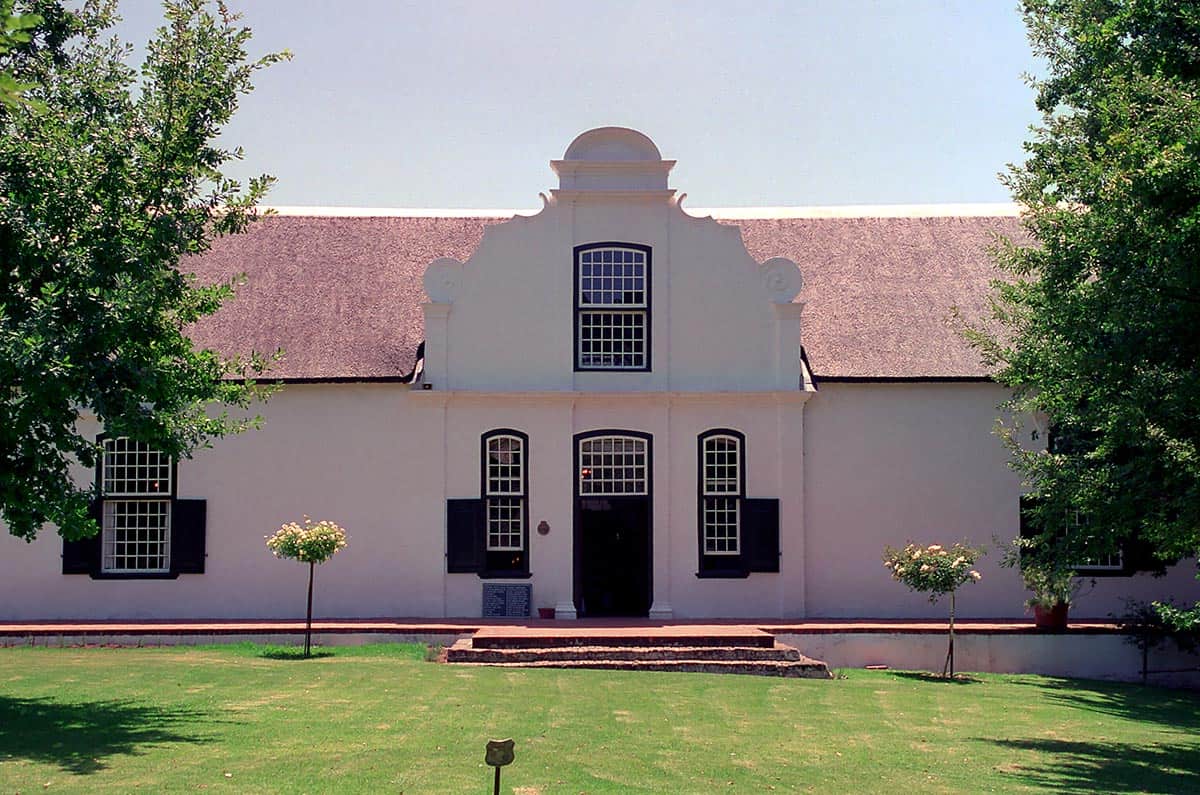
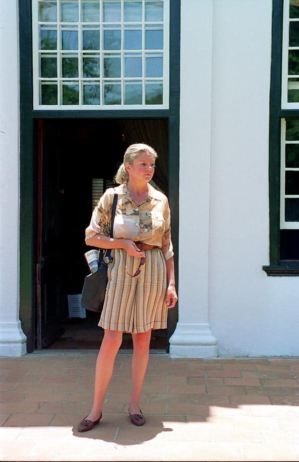
Our route takes us via Stellenbosch, which is about 50 km from Cape Town. Stellenbosch is the second oldest settlement in South Africa after Cape Town. You are on historic ground here. This can be felt and seen everywhere in Stellenbosch. The historic ambience as well as the charm of the over 300-year-old city invite you to relax and linger and, of course, to drink wine. Stellenbosch is a romantic town of 50,000 inhabitants, endless oak avenues, well-kept parks and gardens. The city centre has countless examples of Victorian, Georgian and Cape Dutch architecture.

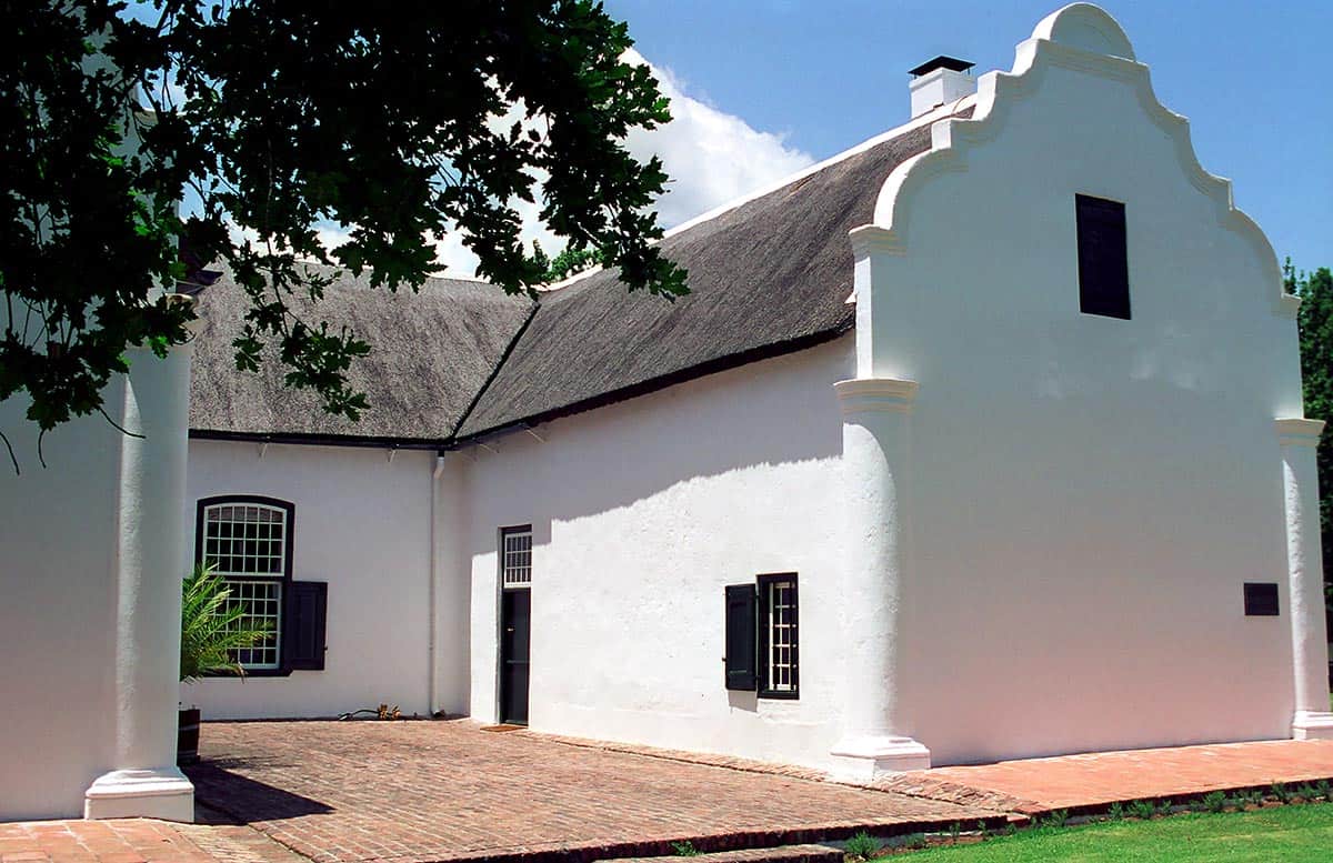
In the old core of Stellenbosch, you can find these whitewashed houses with curved gables and white wrought-iron or wooden balconies and garden fences everywhere. Catastrophic fires hit the city several times. However, most of the historic buildings have been carefully restored, so that Stellenbosch is now one of the best preserved towns from the founding period of the Cape Colony. In the small rustic restaurants you can eat excellently and of course enjoy the excellent and famous South African wine grown here.

The name Garden Route dates back to the time of settlement in this region. To the first explorers, explorers and settlers, this green, fertile area seemed like the Garden of Eden. This impression is still given to the traveller today when he travels through the region with his eyes open. Here you can experience rugged mountains, cliffs, lonely white sandy beaches, deep forests and semi-desert in a small area. Along the coast there are many small seaside resorts that invite you to linger.

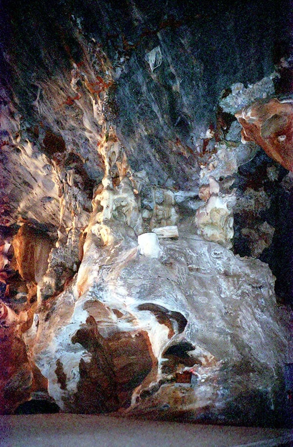
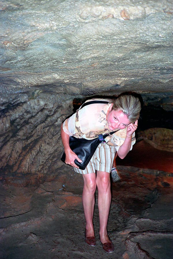
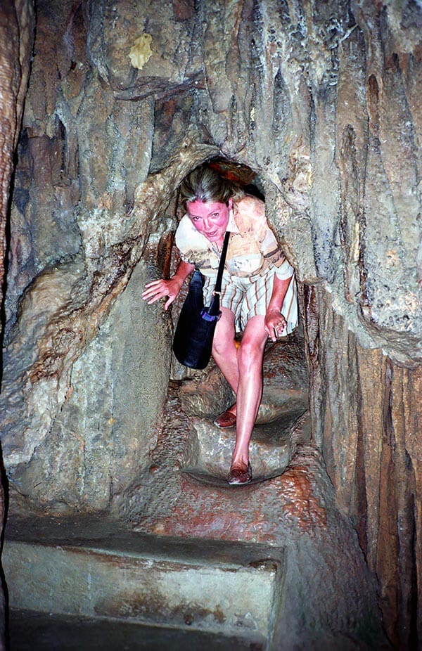
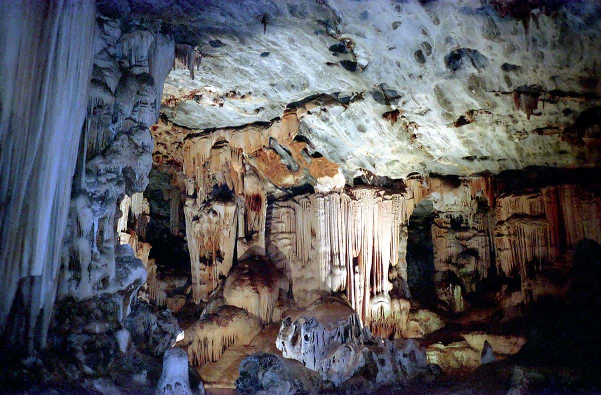
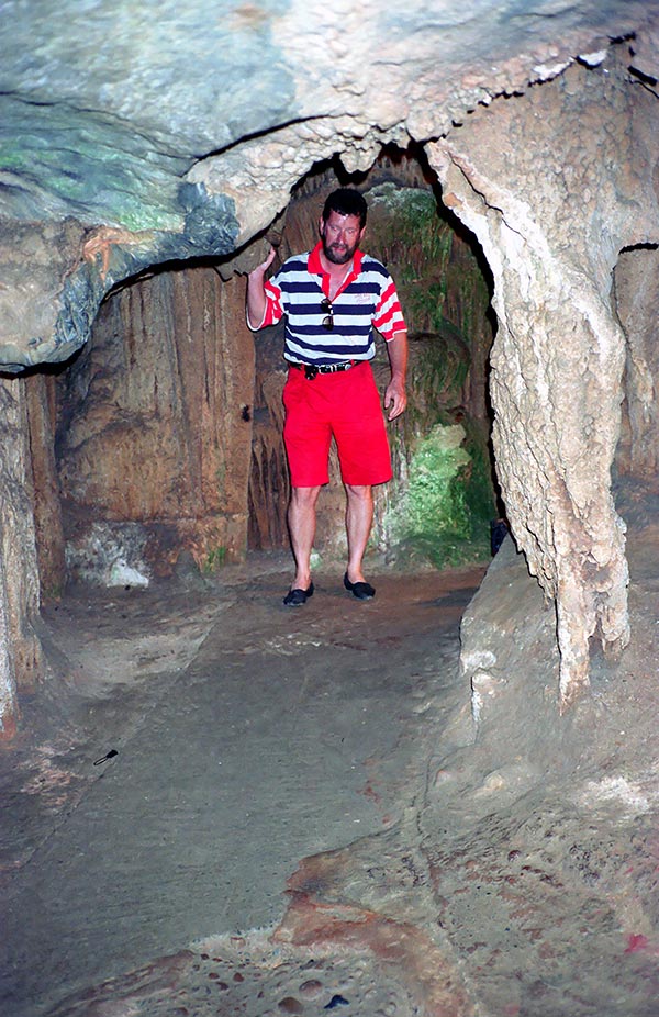
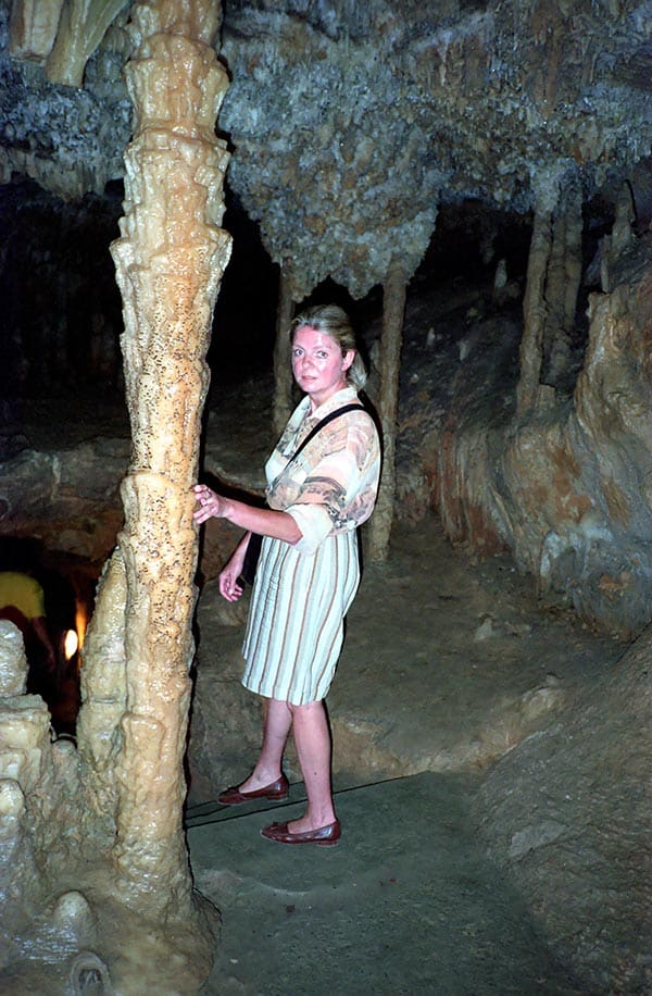
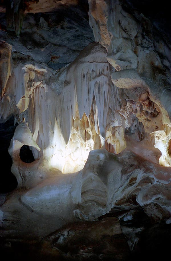
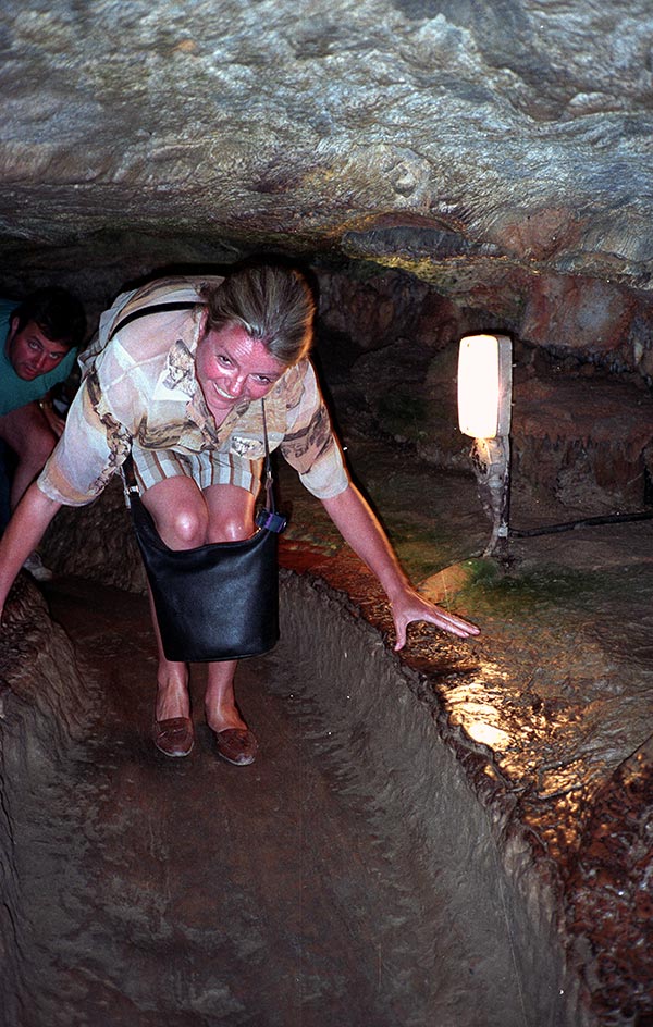
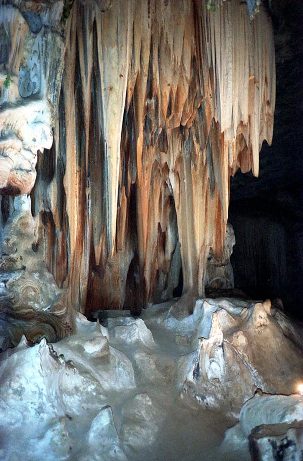
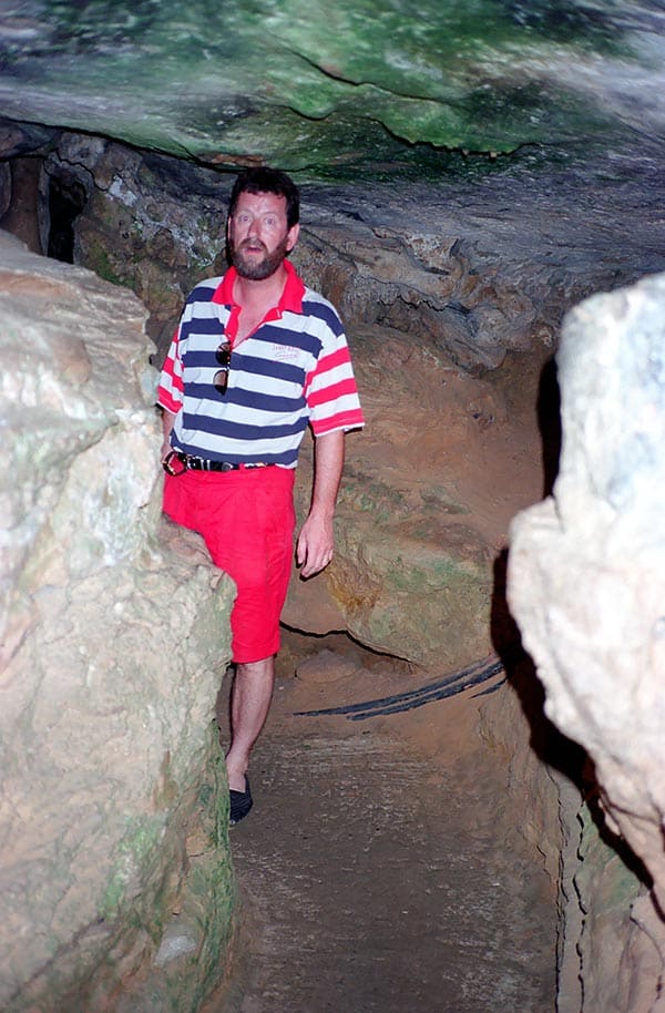
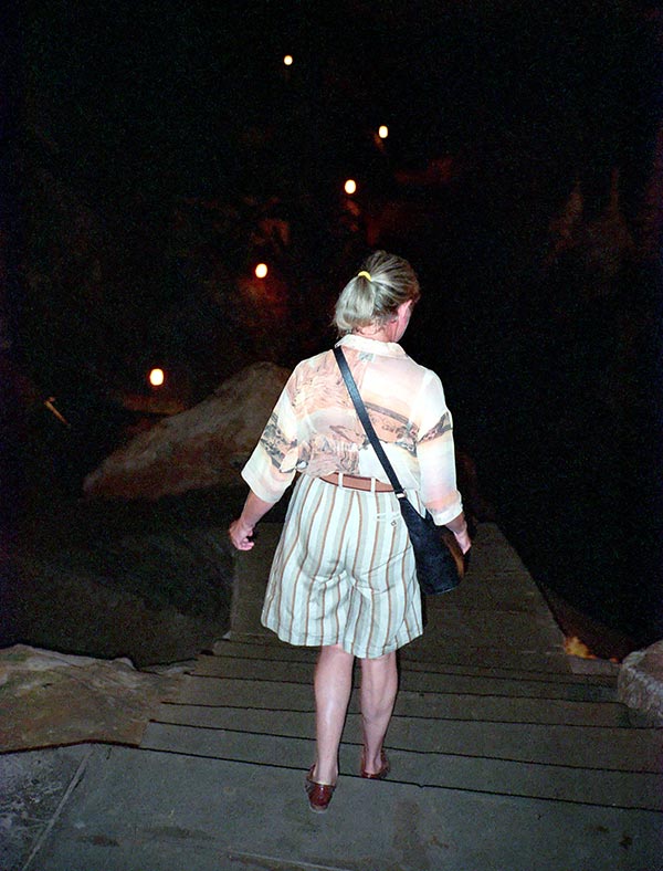
The Cango Caves near Oudtshoorn are among the largest stalactite caves in the world. In the widely ramified underground facilities you can take guided tours. The stalactite formations are partly colourfully illuminated. The bizarre stalactite formations in the caves consist mainly of calcium carbonate. They are formed when calcareous water drips down from the rock and evaporates. The structures growing downwards from the cave ceiling are called stalactites, the structures growing upwards from the ground are called stalagmites. When both stalactite formations combine to form columns, these are called stalagnates. The way into the cave system is a bit tedious and not recommended for those who have damaged intervertebral discs, but you are amply compensated for the effort.

It is an impressive experience to be able to see the huge formations that have been built up over centuries up close. Done, the exit is reached again. On the way to our further route, we always find a place on one of the many lonely beaches to take a break in untouched nature.

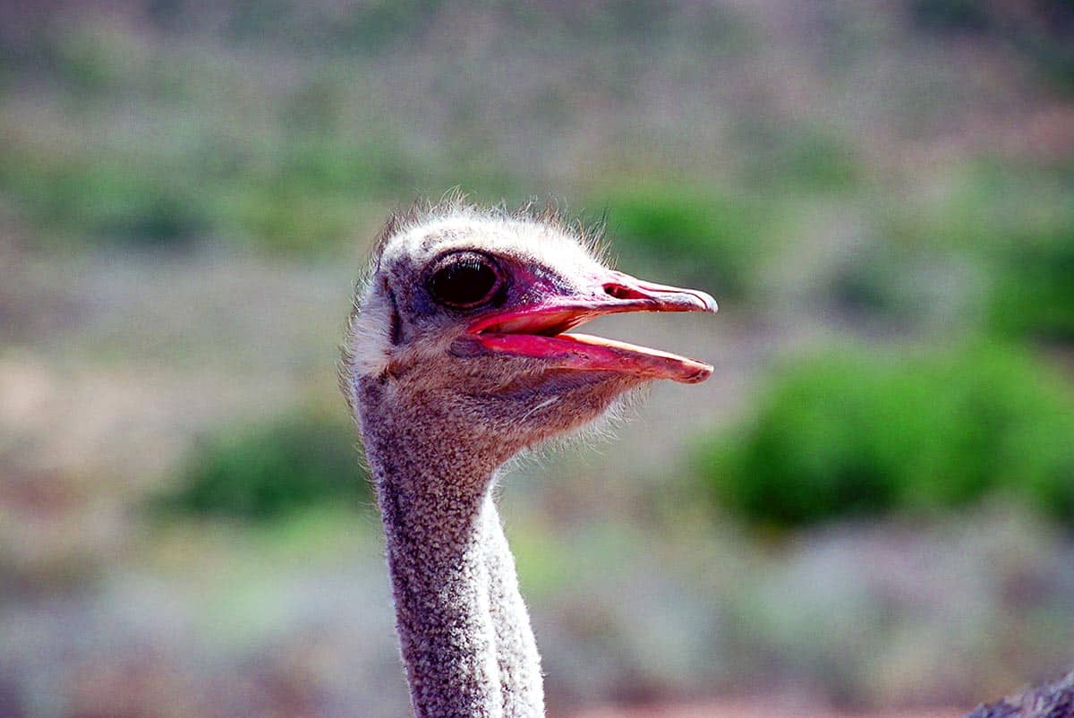
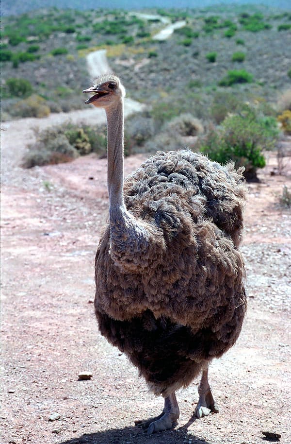
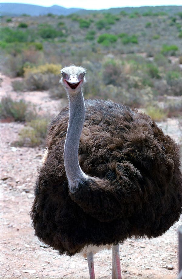
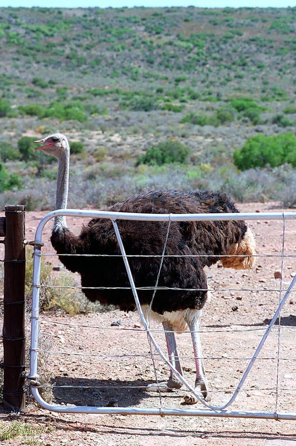
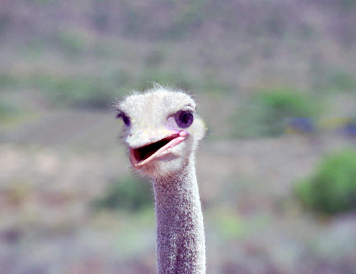
On our route we also visit one of the huge ostrich farms. Ostrich breeding around Oudtshoorn developed during a long period of drought in the region. When the needy farmers discovered that ostriches were thriving quite well despite the drought, the farms were established. The meat is very tasty and is now exported all over the world. The breeding animals are sexually mature after two or three years. Mating takes place all year round. However, the main mating season is from April to September. The male scrapes a sufficiently large nest hollow in the ground. After that, the female lays an egg every day until there are about 10 to 15 eggs. After that, the breeding season begins, which lasts about 42 days. Males and females take turns. The males almost always take over the “night shift” because they are better camouflaged due to their darker plumage. The ostrich eggs are the largest bird eggs in the animal world. An average egg is about 15 cm long, 12 cm wide and weighs about 1.5 kg. Although the shell is only 2 mm thick, the egg can support a weight of up to 120 kg.

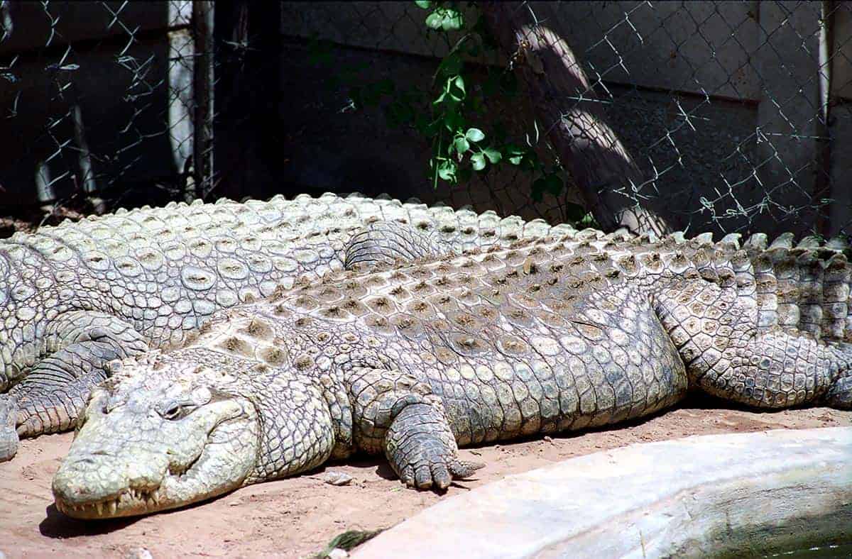
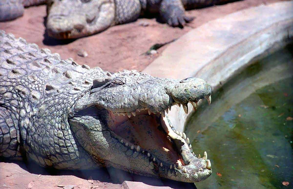
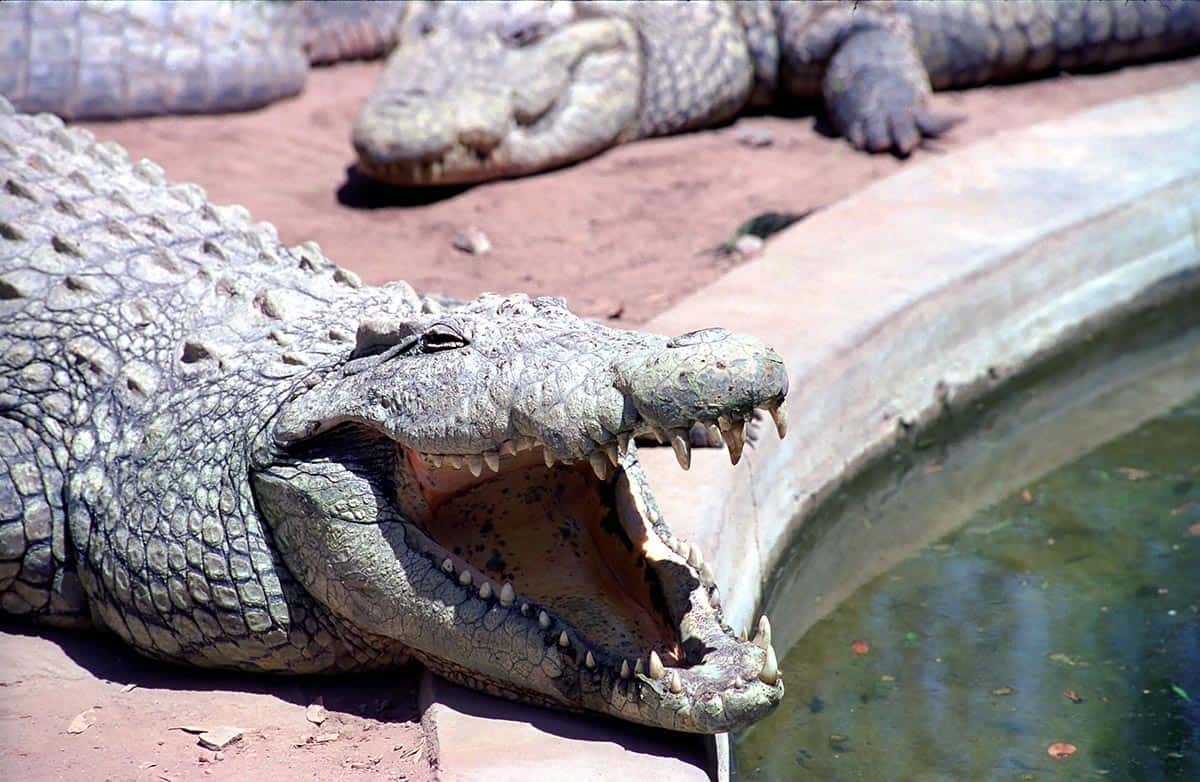
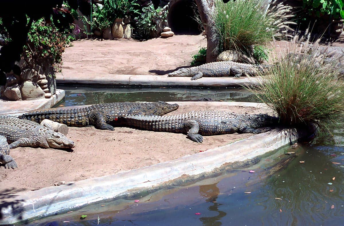
On a neighboring farm we find another species of animals. The impressive specimens of the crocodiles can be observed during a feeding…….then they doze in the sun. We describe our further path on the Garden Route on the following pages.

Photos South Africa Garden Route

suedafrika kapstadt 007
OnTourWorld Südafrika Kapstadt
OnTourWorld Südafrika Gardenroute

Questions about South Africa as a travel destination?

You can get the answers in the Africa forum!

2. July 2017 0 comments
0 FacebookTwitterPinterestEmail
Austria

Austria – Niederthai

by Joe OnTour 4. June 2017
written by Joe OnTour

Austria – Oetztal – Niederthai

Niederthai (1537 m) is the only village in the Horlach Valley and it consists of a few hamlets in an idyllic valley widening. This is also the starting point for the alpine hiking trail to the Larstighof, which is located at an altitude of 1777 m.

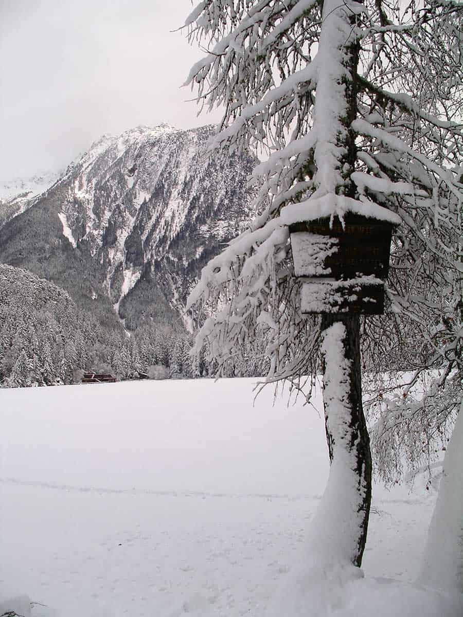
The winter landscape in the Horlachtal is impressively quiet and lonely. The panorama of the Ötztal Alps on the journey through the Horlach Valley is impressive.

Here you can still find rustic alpine inns, which create a warm and cosy atmosphere in the restaurant with their handmade tiled stoves. So you can let your thoughts wander about the impressions you have just experienced in peace. The menu includes such mundane things as Kaiserschmarren and stew of the house.

After a longer hike, however, you will feel these delicacies of Tyrolean cuisine like caviar and salmon. Below are some impressions of a wonderful winter landscape in the Ötztal. The little friends from nature are bound in ice. In our opinion, they are worth more than ski paradises that have to be “shared” with thousands and thousands. Can anyone understand that? Then just write us your tips in our forum.

Austria – Oetztal – Niederthai

Kuehtai
Hochötz
Hochötz
Hochötz
Hochötz
Hochötz
Hochötz

Questions about Austria as a travel destination?

In the Europa Forum you will get the answers!

4. June 2017 0 comments
0 FacebookTwitterPinterestEmail
Amado Beach
Portugal

Praia do Amado

by Joe OnTour 31. May 2017
written by Joe OnTour

Praia do Amado

On our trip through Portugal we visit the Algarve. On the Vicentina coast near Carrapateira, Playa do Amado is another insider tip.

There are relatively few tourists in this beautiful region. Only insiders know this coast. It has been chosen as a favorite by surfers for many years. This is also due to the few hotels that can be found here. Large hotel chains are not represented here. So it is not surprising that only a few package tourists find their way here.

The nature in this region is simply impressive and I will report on this in more detail.

The Vicentina coast at Carrapateira is an absolute hotspot and we will come back for sure.

Photos Portugal - Praia do Amado

Amado Beach
Playa do Amado

Questions about Spain as a travel destination?

In the Europe forum you will get the answers!

31. May 2017 0 comments
0 FacebookTwitterPinterestEmail
Austria

Austria – Timmelsjoch

by Joe OnTour 29. May 2017
written by Joe OnTour

Austria – Oetztal – Timmelsjoch

The Timmelsjoch High Alpine Road is a toll road that connects the Ötztal (Austria) and the Passeier Valley (Merano – Italy). The highest point of the Timmelsjoch is 2509 m.

The Timmelsjoch has an elevation gain of 1800 m. On the Austrian side in the Ötztal, the Timmelelsjoch High Alpine Road begins at Hochgurgl. The Timmelsjoch – High Alpine Road is only open in the summer months from 6 a.m. to 8 p.m. In the winter months, the Timmelsjoch is completely closed to motorists. The closure depends on the prevailing snow conditions, but usually lasts from mid-October to April of the following year.

Even in spring and early summer, you can get an impression of the sometimes huge masses of snow that have fallen in winter. Snowdrifts of 6 to 8 meters are not uncommon. The road over the Timmelsjoch winds in several hairpin bends on the well-developed Austrian side up to the main Alpine ridge. Once you have exceeded this at 2509 m, the Italian side goes down the valley in tight curves. The view of the Southern Alps from up here is tremendous in good weather.

It is not uncommon for the weather to change quickly at this altitude. Especially in the autumn months, it can happen that high fog suddenly occurs. Then absolute caution is advised. We have already had trips over the Timmelsjoch where you couldn’t see your hand in front of your eyes. Even the ride at walking pace then became an adventure with an uncertain outcome.

Even at the end of September and beginning of October, temperatures can drop within a very short time and thus lead to heavy snowfall at higher altitudes above 1,500 m. Turning back is then usually no longer of any use. We had such conditions on a crossing, where rows of cars without all-wheel drive slipped into the slopes off the road.

The high alpine pastures in the Timmelstal are particularly beautiful in summer and autumn, when there is no snow yet. The descent to St. Leonhard im Passeier leads over bold serpentine buildings and through romantically old tunnels. In glorious sunshine at the beginning of October, there was already a 20 cm to 30 cm thick layer of snow. View from the Timmelsjoch to the three-thousand-metre peaks of the Northern Alps. View back on the descent into the Passeier Valley.

Images Austria – Oetztal – Timmelsjoch

Timmelsjoch
Timmelsjoch
Timmelsjoch
Timmelsjoch
Timmelsjoch
Timmelsjoch
Timmelsjoch
Timmelsjoch
Timmelsjoch
Timmelsjoch

Questions about Austria as a travel destination?

In the Europa Forum you will get the answers!

29. May 2017 0 comments
0 FacebookTwitterPinterestEmail
Austria

Austria – Hochgurgl

by Joe OnTour 27. May 2017
written by Joe OnTour

Austria – Oetztal – Hochgurgl

Hochgurgl is first and foremost a hotel village that was built as a winter sports resort. It is located on the Timmelsjoch High Alpine Road at an altitude of 2,150 m above the tree line.

Several lifts connect the lower-lying villages with the Hochgurgl hotel village. In winter, pure skiing fun rages here for a few months. In the summer, most hotels are closed and the place turns into a ghost town.

The lifts of Hochgurgl lead to the higher ski resorts. One of the highest peaks for skiers here is the Wurmkogel with just over 3000 meters. You can reach the Wurmkogel with several interconnected ski lifts, the last part with a chairlift. The view up here is simply fantastic.

If it weren’t for the ski hustle and bustle, you could even pause for a moment and let your feelings run free. The hut at over 3000 meters is rustic and spartan. The toilet facility of the hut consists of a seat with an unobstructed view a hundred meters down into the Tyrolean mountains. We are happy to escape the ski hustle and bustle and go downhill. As pure mountain hikers, we feel very out of place here. The beautiful weather with a fantastic view of the surrounding mountains reconciles us a little.

The alpine cable cars transport thousands of so-called holiday and pleasure addicts to the mountains every day; how long will this go on in view of constantly and ever faster changing climate conditions? With this steadily increasing mass tourism, we ask ourselves again and again: “Will nature strike back at some point?” The highest mountain peaks are easy to reach. Masses of visitors populate the mountains. The dream of the summit cross is practically achievable for “everyone”. We leave this place thoughtful and with very mixed feelings……

Austria – Oetztal – Hochgurgl

Österreich - Oetztal - Hochgurgl

Questions about Austria as a travel destination?

In the Europa Forum you will get the answers!

27. May 2017 0 comments
0 FacebookTwitterPinterestEmail
Austria

Austria – Hochötz

by Joe OnTour 22. May 2017
written by Joe OnTour

Austria – Oetztal – Hochötz

Hochötz is a sunny plateau and lies at an altitude of 1900 to 2000 m. The gently undulating hills of Hochötz are surrounded by old stone pines. In summer, the alpine rose blossom can be admired here particularly pronounced.

From the valley station in Ötz (820 m) you can either hike as a well-trained mountain hiker to the Hochötz mountain station at 2020 m altitude or you can take the mountain railway to the mountain station and hike from here to various destinations.
View from Hochötz in AustriaHochötz in Austria
One of the possible hiking trails leads to the Alte Bielefelder Hütte, which is a ruin and is no longer managed. The walking time from the Hochötz mountain station is about an hour. The ruins are located at an altitude of 2200 m. Another option is the descent to the Neue Bielefelder Hütte and the Acherberg-Alm, which can be reached in half an hour in a steep descent but without any particular difficulty. From the Hochötz mountain station you have a wonderful view of the north flank of the Acherkogel. The mountain restaurant at the Hochötz mountain station is modernly run and geared towards mass tourism.

But the climb is worth it because of the beautiful view of the surrounding mountains. In summer, many paragliders and paragliders take off from up here, which then have their landing site down in the valley near Ötz.

Pictures Austria – Oetztal – Hochötz

Kuehtai
Hochötz
Hochötz
Hochötz
Hochötz
Hochötz
Hochötz

Questions about Austria as a travel destination?

In the Europa Forum you will get the answers!

22. May 2017 0 comments
0 FacebookTwitterPinterestEmail
Austria

Austria – Kühtai

by Joe OnTour 18. May 2017
written by Joe OnTour

Austria – Oetztal – Kühtai

Kühtai is a pure hotel settlement at an altitude of 2017 meters. Kühtai lies on the watershed between Sellraintal and Ötztal. You can reach Kühtai from Ötz via the small village of Ochsengarten. In the winter months, it is high season here, as Kühtai is a popular winter sports resort.

In the winter months, if there are enough snow conditions, the trip to Kühtai is an idyllic affair. The path leads past a small torrent, over which narrow wooden bridges lead from time to time.

We caught a good winter with enough snow. Thanks to the climbing power of our Landy, however, we have no problem climbing the narrow and steep turns. In contrast to most normal cars, which can only manage this route with sufficient winter equipment. The journey goes past snow-covered alpine huts.

Often only a beaten path leads to the huts, if they are inhabited. If a small plume of smoke comes out of the chimney, this is the case. The landscape looks like a winter fairy tale. Untouched and quiet except for the occasional cries of a buzzard in the air. Until we reach the village of Kühtai. The bear is already loose in the Dorfstadl. Masses of ski tourists populate the rustic alpine hut, which belongs to our friend Kurti from Ötz.

That’s not our idea of winter magic. So we quickly leave this place of commercialization of nature. After a last look at the bulging ski slopes, we reach the exit of Kühtai.

Only a few kilometers further on, the world we love so much welcomes us again. Lonely alpine farms and a nature that only needs itself and is not dependent on tourism. With this certainty, we drive through the snow-covered landscape towards the valley. We notice that it is becoming increasingly difficult to find places where you can relax and find yourself in untouched nature.

Pictures Austria – Oetztal – Kühtai

Kuehtai
Kuehtai
Kuehtai
Kuehtai
Kuehtai
Kuehtai
Kuehtai
Kuehtai
Kuehtai
Kuehtai

Questions about Austria as a travel destination?

In the Europa Forum you will get the answers!

18. May 2017 0 comments
0 FacebookTwitterPinterestEmail
Austria

Austria Sulztalalm

by Joe OnTour 12. May 2017
written by Joe OnTour

Austria – Sulztalalm

The Vordere Sulztalalm (1898 m) is located in a tranquil valley at the tree line. The alpine pasture is served by a friendly inn. Further up the valley, the path leads to the Hintere Sulztalalm and then to the Amberger Hütte.

The Sulztalalm can be reached from the end of Gries by following the wide road through the innermost meadows of Gries into the valley. From here you cross the stream and the stone step to the Vordere Sulztalalm.

Nature shows its most magnificent side on our hike. View of the ice world of the Hochstubai seen from the Sulztal. The alpine meadows are peppered with alpine flowers and herbs.

It is a beautiful sight to look at the magnificently blooming meadows on the hike. The air is filled with the scents of meadow herbs and we breathe in the mountain freshness to the fullest.

Pictures Austria – Sulztalalm

Sulztalalm
Sulztalalm
Sulztalalm
Sulztalalm
Sulztalalm
Sulztalalm
Sulztalalm
Sulztalalm
Sulztalalm

Questions about Austria as a travel destination?

In the Europa Forum you will get the answers!

12. May 2017 0 comments
0 FacebookTwitterPinterestEmail
Austria

Austria Oetztal – Handicrafts

by Joe OnTour 12. May 2017
written by Joe OnTour

Austria Oetztal – Crafts

The ancient craftsmanship occupies a rather modest framework in the Ötztal. Only for their own use can you still find small farms, which are mainly due to their rural origin.

In Ötz we find a farmer who maintains a small sawmill for his business and, as needed, still works on his tree trunks, which he fetches from his own forest.

The sawmill’s machinery seems primeval, but still serves its purpose. Several saw blades are housed in a block frame, which are driven by a chain train. The tree trunk is held on its path with pliers and pulled over the chain mechanism into the saws rotating up and down. In this way, eight to ten boards are cut from the trunk, depending on the size. The farmer tells us that he maintains and repairs the machine himself. The saw blades need to be sharpened from time to time. The sawmill consists mainly of pure mechanics. This work still requires pure muscle power.

Nothing has changed for hundreds of years. How long will this gem be preserved for posterity? In other regions, you probably have to look for such handicraft facilities for a long time. Often they can already be found in a museum at best.

Pictures Austria Oetztal – Crafts

Ötztal Handwerk
Ötztal Handwerk
Ötztal Handwerk
Ötztal Handwerk
Ötztal Handwerk
Ötztal Handwerk
Ötztal Handwerk
Ötztal Handwerk
Ötztal Handwerk
Ötztal Handwerk
Ötztal Handwerk

Questions about Austria as a travel destination?

In the Europa Forum you will get the answers!

12. May 2017 0 comments
0 FacebookTwitterPinterestEmail
Austria

Austria – Wilder Kaiser

by Joe OnTour 12. May 2017
written by Joe OnTour

Austria – Wilder Kaiser

We stayed in Going at the “Stanglwirt”, an organic hotel, for a few days. The hotel complex is original and comfortable. It is ideally located for our mountain hikes on the Wilder Kaiser.

We tackle the ascent of the Wilder Kaiser early in the morning. We have chosen a direct ascent that leads right through the forest at the lower foot of the Wilder Kaiser. At the upper edge of the forest we have to cross various gravel fields. Then we scramble up a narrow via ferrata directly below the Gruttenhütte (in the picture – to the right of the Gruttenhütte).

The Gruttenhütte on the Wilder Kaiser is one of the many stations for hikers on the high-altitude hiking route that passes here. On our mountain hike to the Wilder Kaiser, we are suddenly surprised by bad weather. A wall of fog is so strong that we can only see 2o meters away. Within 10 minutes, the weather clears up again.

In the mountains, you have to reckon with constantly changing weather situations. The panorama of the Wilder Kaiser is bizarre and impressive. From the Gruttenhütte we have a beautiful view of the valley.

It was quite a strenuous climb for the first day and we are glad that we have the climb behind us. After an extensive lunch snack, we start the descent from the Gruttenhütte, which leads us past various scree fields. In some cases, there is still some snow in the mountains even now in late summer. The hiking trail downhill is not nearly as arduous as the ascent. On the adjacent picture you can clearly see the route, which always leads below the peaks of the Wilder Kaiser.

The way back first always leads across to the Wilder Kaiser with a view of the valley and then later winds in small serpentines directly through the dense forest below. View of the Wilder Kaiser, in the

View of the Gruttenhütte with Wilder Kaiser. On the way back, various scree fields have to be crossed.

Pictures Austria – Wilder Kaiser

Wilder Kaiser
Wilder Kaiser
Wilder Kaiser
Wilder Kaiser
Wilder Kaiser
Wilder Kaiser
wilder kaiser 003
Wilder Kaiser
Wilder Kaiser

Questions about Austria as a travel destination?

In the Europa Forum you will get the answers!

12. May 2017 0 comments
0 FacebookTwitterPinterestEmail
Austria

Austria – Piburger See II

by Joe OnTour 12. May 2017
written by Joe OnTour

Austria – Oetztal – Piburger See – Summer

Lake Piburg is located at an altitude of 915 m with a length of 800 m and a depth of 30 m. It is one of the warmest lakes in Tyrol. From Ötz, it can be reached on foot in half an hour. The lake was formed by a landslide. It has been declared a strict nature reserve.

A circular hike around the lake, which leads directly along the lake via partly narrow forest paths, is highly recommended.

On this hike you always have direct contact with the lake and often a beautiful view of the neighboring peaks of the Tyrolean mountains. The lake is indeed a gem if you have the fortune to visit it at a time when there is little tourist traffic. You might think you’re in the wilderness of Canada, if it weren’t for the awareness of being in safe territory.

The circular hiking trail winds up and down around the lake and it leads past rocky outcrops and often steeply sloping shore passages or even flat places where you reach the lakeshore directly.

The flora around the lake is impressive. Steeply rising rock formations are overgrown with dense trees and ferns, mosses and dense undergrowth. The circular hike can be done in 3/4 hour even for inexperienced hikers with a little enthusiasm. A wonderful sunset rewards our trip to Lake Piburg.

Austria – Oetztal – Piburger See – Summer

Piburger See im Sommer
Österreich - Oetztal - Piburger See im Sommer
409 017
Piburg
Piburg
Piburg
Piburg

Questions about Austria as a travel destination?

In the Europa Forum you will get the answers!

12. May 2017 0 comments
0 FacebookTwitterPinterestEmail
Austria

Austria – Piburg

by Joe OnTour 10. May 2017
written by Joe OnTour

Austria – Oetztal – Piburg

The village of Piburg is located just above Lake Piburg at 970 m and it consists only of a few beautiful old houses. It can be reached from Ötz on the winding road by car after 3 kilometres. More beautiful and highly recommended is the signposted hiking trail from Ötz. You hike through a little-frequented, beautiful, typical Tyrolean landscape and reach Lake Piburg after about an hour. From there it is another 15 minutes to the village of Piburg.

In the centre of the village of Piburg stands this old farm. Despite the few houses, there are two inns in the village that also offer accommodation. The Gasthof Piburger See is one of these two guesthouses. When the weather is nice, you can sit here on the terrace and enjoy everyday farm life.

The farmers still use this ancient tractor, which has certainly been in service for more than 50 years. The village exudes the idyll of a tranquil village life, provided you don’t stay here in the high season. The most beautiful time is late autumn, when the main stream of tourists has already left and peace has returned to the village community.

Austria – Oetztal – Piburg

Piburg
Piburg
Piburg
Piburg
Piburg
Piburg

Questions about Austria as a travel destination?

In the Europa Forum you will get the answers!

10. May 2017 0 comments
0 FacebookTwitterPinterestEmail
Austria

Austria – Larstighof

by Joe OnTour 28. April 2017
written by Joe OnTour

Austria – Oetztal – Larstighof

The starting point for a hike to the Larstighof is the village of Niederthai. In the tranquil little village you can leave the car and hike on a forest path, which is well signposted, to the Larstighof, which is located at an altitude of 1777 m.

On the hike, which always leads along a torrent, you have a wide view of Niederthai. In some places, warnings are issued about water waves in the stream area, which can occur in extreme weather situations.

On the alpine pastures, the cows are our companions, grazing, dozing or ruminating freely in the terrain……..when they are not collecting tolls on the paths……?

On the way we always hike along the torrent, which accompanies us in the Horlachtal on the way to the Larstighof. A small path chapel invites you to linger in the Horlachtal. On the way to the Larstighof we meet free-roaming horses. The horse mother leads the foal safely through the alpine landscape.

In winter, the landscape here is more deserted and lonely than in the summer months, as the area is not a classic winter sports area. We think that the winter hike to the Larstighof is more interesting. The landscape shows itself in a completely different dress. The frequency of tourists has decreased considerably. The hike will also be considerably more difficult depending on weather conditions and snow depths.

But the charm of this winter landscape outweighs the effort of the ascent. We pass a lonely and completely snow-covered farm on the way to the Larstighof. Directly in front of the Larstighof is a small chapel. The hike to the Larstighof is a worthwhile destination both in winter and summer.

Pictures Austria – Oetztal – Larstighof

Larstigalm
Larstigalm
Larstigalm
Larstigalm
Larstigalm
Larstigalm
Larstigalm
Larstigalm
Larstigalm
Larstigalm

Questions about Austria as a travel destination?

In the Europa Forum you will get the answers!

28. April 2017 0 comments
0 FacebookTwitterPinterestEmail
OnTourWorld Südafrika Kapstadt
City tripsSouth Africa

South Africa Cape Town

by Joe OnTour 14. April 2017
written by Joe OnTour

South Africa Cape Town

Cape Town is the most beautiful city in the world, say many experienced world travellers. We are also enthusiastic about the location of South Africa’s “Mother City” at the foot of the mighty Table Mountain massif. Cape Town is located in the middle of a national park of outstanding beauty and is equipped with extensive sandy beaches.

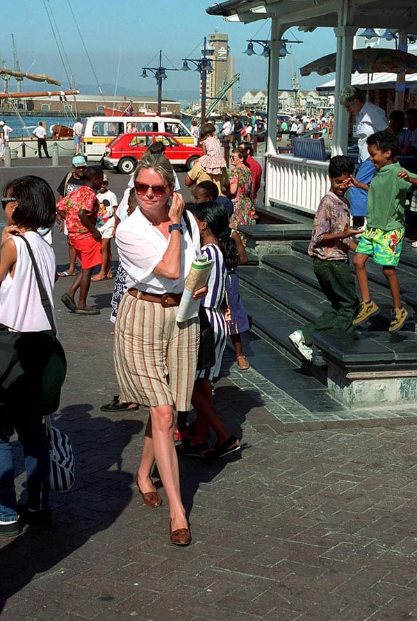
Cape Town has an interesting 350-year history. There are a variety of historic buildings. The city has a multicultural flair with a maritime character. The Capetonians have a relaxed way of life. The lively Victoria & Alfred Waterfront is home to a colourful mix of peoples. The landscape is characterized by a great variety of plants. The beautiful Cape Peninsula, the Cape of Good Hope and, last but not least, the charming surrounding area contribute to Cape Town’s special attractiveness.

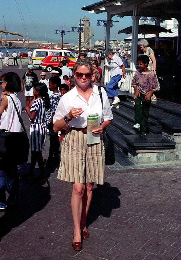
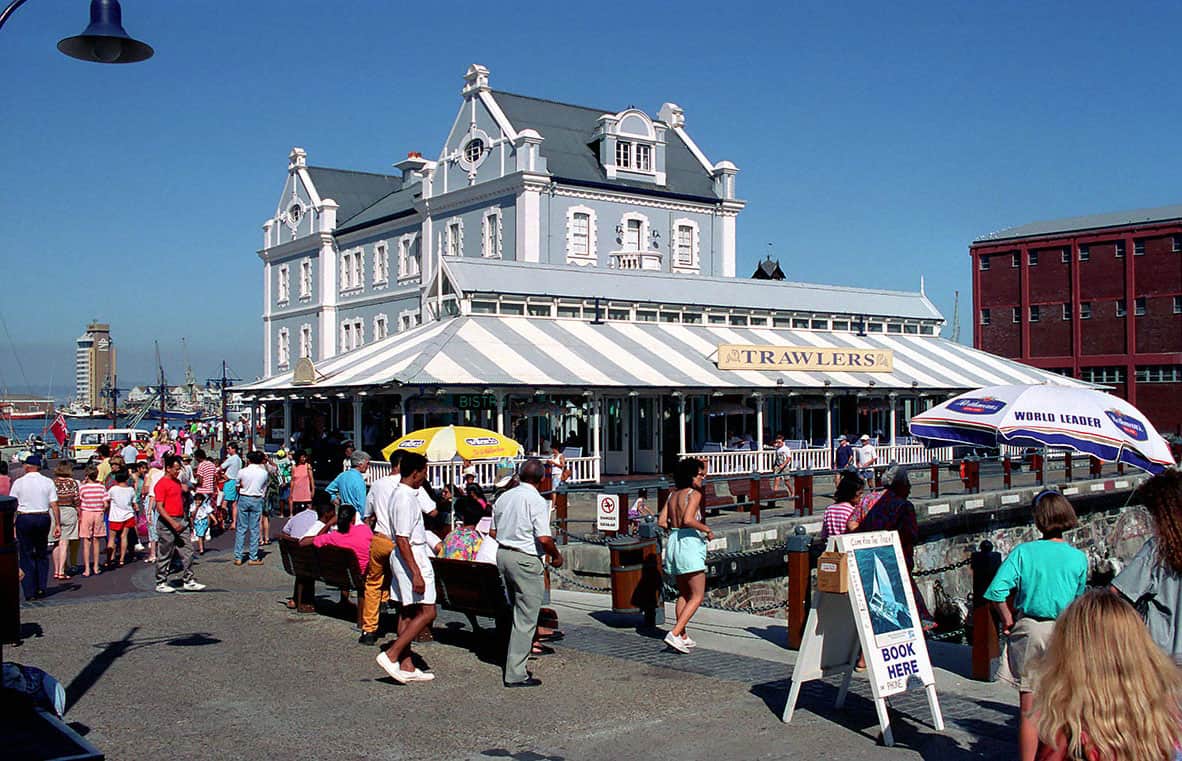
The oldest part of Cape Town’s harbour facilities was thoroughly renovated in 1990 and developed into an entertainment district with an exclusive shopping centre. Dozens of restaurants, cafes and bistros, live music, pubs and pubs make a stroll along the *Victoria & Alfred Waterfront* an unforgettable experience by day and by night.

But the port city has not only become the main attraction in South Africa for domestic and foreign tourists in recent years. Cape Town is the destination of emigrants, also for South Africans. Those who find work here move to the Cape. Because this city is European and yet African.

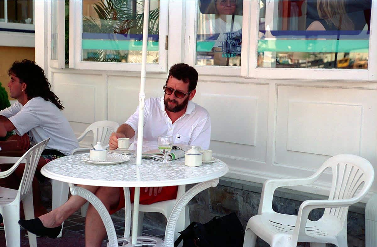
Here you live more relaxed, freer and closer to nature. And among representatives of the economy, Cape Town has long been considered a boomtown. Companies that trade with South Africa today want and need to be represented in the city of millions on the Cape. There is always something to see at the Victoria & Alfred Waterfront. Not only the jugglers provide sufficient variety. You can also go shopping here and then go out for a good meal in one of the many restaurants or you can relax with a tea or coffee and enjoy life while people-watching.

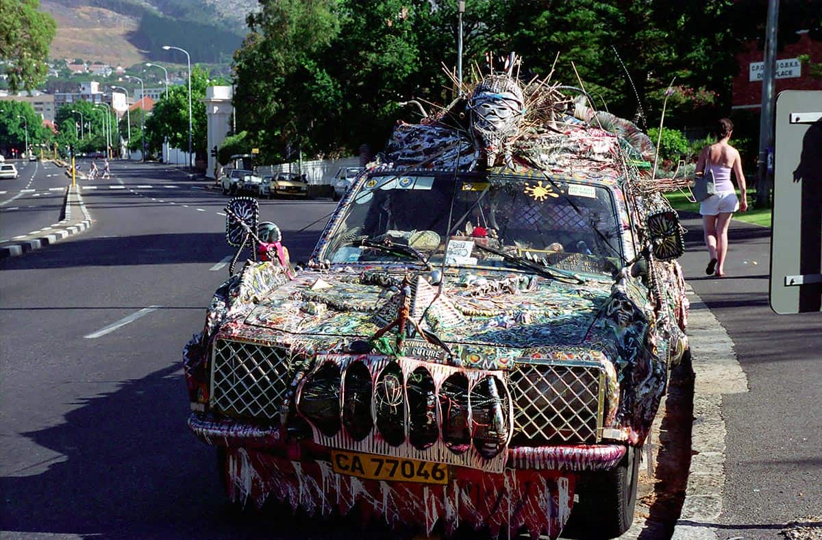
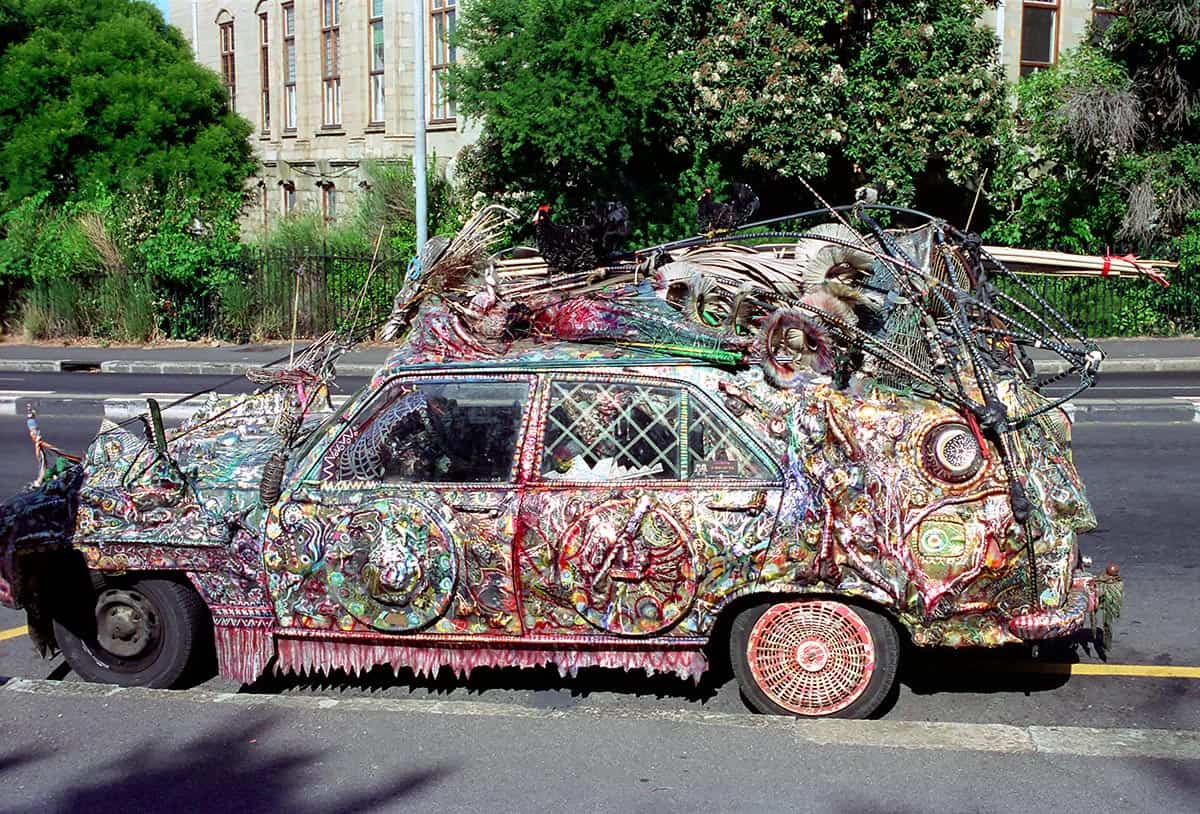
South Africans are known for their creativity. Sometimes, however, the understanding of free creativity is exceeded by a few degrees. One can only guess how long it took to work on such a bizarre work of art. And the best thing: the vehicle is not only parked on the side of the road, it also transports its creator through the town.

Pictures South Africa Cape Town

suedafrika kapstadt 007
OnTourWorld Südafrika Kapstadt

Questions about South Africa as a travel destination?

You can get the answers in the Africa forum!

14. April 2017 0 comments
0 FacebookTwitterPinterestEmail
Turkey
General country informationTurkey

Turkey – General info

by Joe OnTour 10. April 2017
written by Joe OnTour

Turkey – General information

Area: 779,452 km²

Population: around 85 to 86 million (as of 2025/26) – significantly more than the previously mentioned 68 million.

Capital: Ankara (the largest city in the country, however, remains Istanbul with around 15–16 million inhabitants in the metropolitan area).

Geography: The Republic of Turkey borders Greece, Bulgaria and the Mediterranean Sea to the west, the Black Sea to the north and Georgia, Armenia, Iran, Iraq and Syria to the east. The Asian part of Turkey with Anatolia and Asia Minor covers around 97% of the country’s area.

Holiday destinations: The most popular holiday destinations remain Izmir, Bodrum, Kemer, Antalya, Belek, Side and Alanya on the west and south coasts of the country.

Language: The national language is Turkish. German is still quite widespread, especially in the tourist centres – not least because of the close historical connections and the large community of Turkish origin in Germany.

Health: There are no compulsory vaccinations for entry. Caution is still advised when eating uncooked food; tap water and ice cubes in drinks and ice cream should be avoided. In some rural areas in the southeast of the country, malaria still occurs sporadically, but the Turkish Mediterranean coast is still considered malaria-free.

Religion: Predominantly Islamic, alongside Christian and Jewish minorities.

Local time: Since 2016, Turkey no longer participates in the daylight saving time change, remaining at CET + 2 (Turkey Time, UTC+3) all year round – an important update from the previous seasonal arrangement (CET+1 in winter, CET+2 in summer).

Voltage: 220V, 50Hz.

Currency: Turkish lira (TRY), 1 lira = 100 kuruş. Important note: The former name “New Turkish Lira (YTL)” was only in circulation between 2005 and 2008; since 2009, the currency has officially been called “Turkish Lira” again. Due to persistently high inflation in recent years, the lira has lost considerable value – the exchange rate is around 50 TRY per euro as of 2026. Travelers should check the current exchange rate before departure, as it can continue to change noticeably.

Credit cards: Common credit cards such as Visa, Mastercard and American Express are still widely accepted; Card payment is even more common today than it used to be, and cash can also be withdrawn from many ATMs with German debit cards (Girocard), although Turkish banks usually charge a non-refundable fee for this.

Embassy in Ankara: Germany: Atatürk Bulvarı 114, Ankara. Current contact details should be checked on the website of the Federal Foreign Office before traveling, as telephone numbers change occasionally.

Entry: German citizens still only need a valid identity card or passport for a stay of up to 90 days within 180 days – visa-free entry is therefore still possible, this part of the original article was surprisingly still up-to-date. If you enter by car, a valid passport is also required, as the vehicle is entered in the passport. Important: The previous practice of establishing a new 90-day period by a one-day departure (e.g. to Greece) is no longer possible – this important change was missing in the original. In addition, the exemption from the visa requirement does not grant an absolute right of entry; German nationals may also be affected by entry bans in individual cases.

Photos: Photographing military installations is still strictly prohibited.

Holidays: The official holidays mentioned are still valid: January 1 (New Year’s Day), April 23 (National Sovereignty and Children’s Day), May 19 (Commemoration, Youth and Sports Day), August 30 (Victory Day), October 29 (Republic Day). In addition, the religious holidays Ramazan Bayramı (Sugar Festival) and Kurban Bayramı (Feast of Sacrifice) should be mentioned, the dates of which shift annually according to the Islamic lunar calendar and during which many shops and authorities remain closed.

Turkey – Politics (completely missing in the original)

Form of government: Presidential republic. With the constitutional referendum of 2017 and its full entry into force in 2018, the parliamentary system of government was replaced by a presidential system of government, which significantly expanded the powers of the presidential office and abolished the office of prime minister.

Current president: Recep Tayyip Erdoğan, continuously at the head of state since 2003 (first as prime minister, since 2014 as president, since 2018 with extended presidential powers), most recently re-elected in 2023 in a run-off election. Erdoğan and his AKP have thus been shaping Turkish politics for over two decades.

Important current addition – the earthquake of February 6, 2023: On the night of February 6, 2023, two severe earthquakes (magnitude 7.7 and 7.6) shook southeastern Turkey near the border with Syria, with its epicenter in Kahramanmaraş province. With over 50,000 fatalities on the Turkish side alone, it is one of the most serious earthquakes in recent history; large parts of several provinces were devastated. Reconstruction is still not complete three years later, even though several hundred thousand new housing units have already been completed, according to government figures. The affected region is off the main tourist routes on the Aegean and Mediterranean coasts, so the classic holiday destinations were not directly affected by the event – nevertheless, it is a central chapter of recent Turkish history that should not be missing in a current country article.

Turkey – Climate

Climate in the north of Turkey: The north has a pleasant, balanced climate with warm summers and mild winters, combined with frequent rainfall.

Climate in the eastern part of Turkey: It rains more in the east than in the western part of the Black Sea coast.

West & South of Turkey: It has a Mediterranean climate with long, hot summers and mild winters. The further south you go, the higher the air and water temperature rise. The rainiest months on the Turkish Riviera are November to February. In Antalya, Alanya, Side, Kemer, Belek, Marmaris, Bodrum, Fethiye and Kuşadası there is pleasant holiday weather practically all year round.

Central & Eastern Turkey: There are hot, dry summers and snowy, cold winters here.

Best time to travel: Since the coastal areas in the west and south in particular get very hot in July and August, May, June, September and October are considered the best time to travel. On the Turkish Riviera near Antalya, it is usually pleasant even outside these months.

Turkey – Fauna

Turkey is rich in livestock – especially cattle, horses, buffaloes, sheep and goats are represented here in large numbers. The camel population, on the other hand, continues to decline; the camel is hardly used as a porter today.

Small game species and wild boars can be found throughout the country, whose populations are continuously declining due to intensive hunting. Predators continue to include brown bears, wolves, jackals and lynxes.

Numerous bird species winter in Turkey; Kuşcenneti National Park (Bird Paradise National Park) on Lake Manyas is known as an important bird sanctuary, with pelicans, storks, cormorants, wild ducks and pheasants.

Turkey – Flora

Around 36% of Turkey’s total area is used for agriculture, and about 26–29% of the country’s area is forested.

In the east of Turkey, the flora is most diverse; in the plateaus there are countless species of wildflowers. Shrubs, coniferous forests and black pines grow in the steppe regions, and thistles and cacti in drier areas.

In the north of the country and on the Black Sea coast, there are extensive plantations with hazelnut, corn and tea cultivation. The south of Turkey is more characterized by fruit and cotton plantations; there are also evergreen hedges, shrubs, oaks, olive trees and carob trees.

Turkey – History

10,000 BC: Nomadic tribes explore the land and leave behind cave paintings.

3,000 BC: The first permanent settlements emerge, including ancient Troy, one of the oldest cities of this period.

1,500 BC: Greek tribes establish settlements on the Turkish Aegean coast; trade between the Greek colonies and Greece develops.

500 BC: The Persians conquer coastal cities on the Mediterranean.

334 BC: Asia Minor is conquered by Alexander the Great.

around 200 BC: The Romans conquer the southern coast of Turkey and take over the country’s economy and culture; temples, aqueducts, roads, baths and theatres are built.

330 AD: Byzantium is renamed Constantinople (later Istanbul) and becomes the capital of the (Eastern) Roman Empire; Christianity spreads.

11th to 15th centuries: Islamic Turkic tribes conquer parts of the Eastern Roman Empire; the Ottomans increasingly gain influence and power.

17th century: The Ottoman Empire loses power due to various wars.

1914–1918: In the First World War, the Ottoman Empire stood by Germany and Austria-Hungary; after the defeat, territories had to be ceded to the Allies.

1919–1922: Mustafa Kemal (“Atatürk”) organizes the resistance; the occupying powers are defeated.

1923–1938: Atatürk establishes the Turkish Republic and implements far-reaching reforms that bring the country culturally closer to Western European standards. Atatürk dies in 1938.

1939–1945: During the Second World War, Turkey remained neutral until shortly before the end of the war.

1960–1980: Several military coups lead to changing power relations.

1983: New elections herald an economic upswing; tourism increasingly developed into an important economic factor.

1984: The Kurdistan Workers’ Party (PKK) begins its armed struggle for Kurdish autonomy, combined with terrorist attacks.

1987: First efforts to achieve EU membership for Turkey.

1990: In the Gulf War, Turkey acts as an important NATO partner in the region.

Continuation of the story to the present day – missing in the original:

1999: A severe earthquake in the Marmara region (magnitude 7.4, epicenter İzmit) claims around 17,000 lives – until the earthquake of 2023 the most serious in recent Turkish history.

2002: After the collapse of the previous governing coalition and a severe economic crisis, the newly founded AKP under Recep Tayyip Erdoğan wins the early elections; Erdoğan first becomes prime minister and has since shaped Turkish politics without interruption.

2005: Start of official EU accession negotiations, which have since become largely deadlocked and have now come to a virtual standstill.

2016: A coup attempt by parts of the military against the Erdoğan government fails in the night of 15 to 16 July; as a result, the government declares a state of emergency and has thousands of suspected government opponents in the judiciary, military, education and media dismissed or imprisoned.

2017/2018: A constitutional referendum initiates the transition from a parliamentary to a presidential system of government, which will come into full force with the 2018 elections and significantly strengthen the powers of the presidential office.

6 February 2023: Two severe earthquakes in the south-east of the country claim over 50,000 lives (see chapter “Politics” above for details).

May 2023: Erdoğan wins the presidential run-off election against opposition leader Kemal Kılıçdaroğlu with around 52% of the vote and thus remains president.

The Turkish economy has also gone through a period of particularly high inflation in recent years, at times exceeding 60-80% per year, significantly reducing the lira’s purchasing power; since 2023, the Turkish central bank has been pursuing a course of monetary policy tightening to bring inflation back under control.

Turkey – Food & Drink

Visitors to Turkey will find a varied preparation of vegetables – fresh vegetables are particularly important in Turkish cuisine. Vegetable dishes are prepared pure or together with meat.

Vegetables are also stuffed with rice and minced meat (dolma) or eaten cold with olive oil. In addition, lamb, veal, beef and chicken are offered; devout Muslims do not eat pork.

For breakfast there is tea or thin coffee as well as sweet pastries or white bread with tomatoes, cucumbers, sheep’s cheese or yoghurt, sometimes with Turkish honey.

Mezeler – the appetizers: Visitors who come to Turkey for the first time are often surprised by the variety of small dishes served on large trays with many small plates.

Dolmas are stuffed peppers with rice, currants and pine nuts wrapped in vine leaves. Humus is a spicy paste made from chickpeas. Cigara börek are rolls of dough filled with white cheese and parsley; there are also zucchini pancakes and baked zucchini flowers.

Dönerkebab: Slices of meat are cut off on a rotating skewer and served with raw onions and salad in pide (sliced flatbread).

Gözleme: A thin pancake reminiscent of crêpes, baked on a domed tray and usually filled with a mixture of sheep’s cheese and parsley.

Lahmacun: A mixture of pizza and tortilla – thinly spread, spicy minced meat on dough.

Drinks

Ayran: A lightly salted yoghurt drink diluted with a little water, served chilled and very refreshing on hot days.

Raki: A 45% clear anise schnapps, which is usually diluted with about two-thirds water at the table and becomes milky cloudy – hence also called “Aslan Sütü” (lion’s milk). Drunk with appetizers, fish and meat; the toast is “Şerefe” (for well-being).

Tea (çay): Offered on practically every occasion, whether shopping in the shop or at the bazaar.

Coffee: Turkish coffee is traditionally prepared in cezve (pot with a stick), where coffee powder is boiled with water and sugar over a low flame. It is served in small mocha cups in three variants: sade (unsweetened), orta (medium) and şekerli (sweet).

Turkish Dictionary:

Appetite – iştah · Apple – elma · Apple juice – elma suyu · Orange – portakal · Orange juice – portakal suyu · Artichoke – enginar · Ayran – ayran · Baklava – baklava · Beer – bira · I’m full – doydum · Pear – poverty · Börek – börek · Beans – fasülye · Beans with meat – etli kuru fasülye · Bread – ekmek · Bulgur – bulgur · Bulgur rice – bulgur pilavı · Butter – tereyağ · Cacık – cacık · Döner – döner · Egg – yumurta · Ice (ice cubes) – buz · Ice (ice cream) – dondurma · Pea – bezelye · Peanut – fıstık · Food – yemek · Vinegar – sirke · Fish – balık · Meat – et · Fresh – taze · Fruit juice – meyve suyu · Breakfast – kahvaltı · Breakfast room – kahvaltı salonu · Fork – çatal · Fried peppers – biber kızartması · Stuffed peppers – biber dolması · Stuffed – dolma · Boiled – haşlama · Boiled rice – pilav · Mixed ice cream – karışık dondurma · Drink – içki · Spice – baharat · Grill – mangal · Hare – tavşan · Honey – bal · Cheese – peynir · Coffee – kahve · Veal – dana · Potato soup – patates çorbası · Garlic – sarımsak · Cabbage – lahana · Lettuce – marul salatası · Cake – pasta · Kitchen – mutfak · Cow – inek · Lamb chops – pirzola · Lemonade – limonata · Lokum – lokum · Jam – reçel · Menemen – menemen · Lentil soup – mercimek çorbası · Knife – bıçak · Butcher – kasap · Milk – süt · Mineral water – maggot suyu · With milk – sütlü · With paprika – biberli · With sugar – şekerli · Mus – ezme · Mussels – midye · Not fresh – bayat · Noodles – makarna · Fruit – meyve · Olive – zeytin · Parsley – maydonoz · Peach – şeftali · Plum – erik · Mushroom – mantar · Leek – pırasa · Cheers – şerefe · Pur – sade · Turkey – hindi · Raki – rakı · Ravioli – mantı · Beef – sığır · Red wine – kırmızı şarap · Salad – salata · Sour – ekşi · Spicy – acı · Tastes good – lezzetli · Schnitzel – biftek · Mustard – hardal · Simit – simit · Spinach – ıspanak · Sweet – tatlı · Cup – fincan · Dough – hamur · Plate – tobacco · Tomato salad – domates salatası · Watermelon – karpuz · Wine – şarap · White cheese – beyaz peynir · White wine – beyaz şarap · Sausage – sucuk · Sugar – şeker · Onion – soğan


Note: All information on population figures, exchange rates, political offices and entry requirements is subject to change and has been researched to the best of our knowledge as of August 2026. For up-to-date, binding information, it is advisable to take a look at the travel and security advice of the Federal Foreign Office before travelling.

Questions about Turkey?

In the Asia forum you will get the answers!

10. April 2017 0 comments
0 FacebookTwitterPinterestEmail
Corsica - Bastia
Turkey

Turkey – Antalya

by Joe OnTour 10. April 2017
written by Joe OnTour

Turkey – Antalya

Antalya is surrounded by mountains and the Mediterranean Sea. Statistically, the sun shines in the provincial capital 300 days a year. Antalya has 800,000 inhabitants.

The landmark of Antalya is the minaret of the Yivli Minare Mosque, which is located in the city center. It was built in the 13th century under the Seljuk Sultan Kai Kobad I.

The coast is lined with lemon, orange, banana and avocado plantations. In close proximity to Antalya are the tourist centers of Belek, Manavgat and Side in the east and Kemer in the south. The province is rich in natural and historical treasures. In the old town quarter “Kaleici” you can study the everyday life of the Turks.

You should definitely visit the archaeological museum with its collections of artifacts and the Atatürk Museum, where everyday objects of the founder of the Turkish Republic are exhibited. A tip is the traditional oil wrestling matches on the Yesil-Hochalm. Every June, musical performances such as the International Ballet and Opera Festival take place. An attraction of a special kind is the fruit and vegetable market with its fabulous offer, a real treasure trove to take great holiday pictures.

In the province of Antalya, you will find many natural and historical sites worth seeing. 14 kilometers north of Antalya is the Upper Düden, a waterfall that you can walk behind. At Lara Beach (12 kilometers east of the city and with fine sand), the Lower Düden plunges into the sea from a height of 40 meters. You should also visit the Kursunulu waterfalls and Lake Nilüfer (18 kilometers from Antalya).

About 30 kilometers from Antalya, on the eastern slopes of Can Mountain, is the Cocaine Cave. People lived in it over 150,000 years ago. It is the oldest settlement area discovered in Turkey.

In the Güllük Dagi National Park in the northwest of Antalya, on the 1050-meter-high plateau on the western slope of Güllük Mountain, the ruins of the city of Termessos stretch.

Particularly worth seeing is the old port of Antalya with the nearby old town. Here you will find numerous tourist shops and interesting wood carvings, carpet shops and restaurants. The steep descent from the old town is definitely worth it.

If you like fish, we recommend Club Arma, a fantastic fish restaurant above the harbour with a wonderful panoramic view. There are also other restaurants directly at the harbour that offer excellent fish dishes. There are many shops in the harbour area, and there is always a lively hustle and bustle here.

Photos Turkey – Antalya

Questions about Turkey?

In the Asia forum you will get the answers!

10. April 2017 0 comments
0 FacebookTwitterPinterestEmail
OnTourWorld - Irland Oysterfestival Galway
Ireland

Ireland – Oysterfestival

by Joe OnTour 10. April 2017
written by Joe OnTour

Ireland – Oysterfestival

Ireland covers an area of 70,285 km² (of which 1390 km² is water) and has a population of 3.8 million. The capital is Dublin. The average life expectancy is 73.5 years. The racial makeup of the city is 93.1% Catholic, 2.4% Anglican, Presbyterian, and Jewish.

Gaelic and English (as the lingua franca) are spoken. Ireland has a cool, temperate climate. One seventh of the country (about 10000km²) is covered with bogs. Large areas of the coastal areas are covered with heathland, marshland and marshland. Only 4.9% of the country is forested. The national drink is Guinnes.

We had received the tip that every year in September there is an oyster festival in Galway on the west coast of Ireland. On the spur of the moment, we booked a flight to the island. With the pre-booked rental car we drove from the airport to the city of Galway in a few minutes. The hotel directly in the city center was also pre-booked, which is mandatory for the festival, as everything is fully booked here at this time.

Galway is a vibrant city of 60,000 people and is the gateway to Connemara. The city centre of Galway is medieval with its winding cobblestone streets. It is a colorful crowd of jugglers, artists, locals and tourists for the Oyster Festival in the city. In addition, the city is full of young people because of the university located here. The cafes and pubs are already packed in the late afternoon. The Oyster Festival is “the attraction of the year”. During the festival, parades and vintage parades take place.

People show themselves and want to be seen, are exuberant and celebrate. Music bands parade through the streets in a colourful sequence and encourage people to join in the celebrations. The mayor has the honour of opening the first oyster of the season.

After that, the festival will be opened. In a giant tent outside the city, thousands of oysters are offered. Plenty of champagne and, of course, Guinness flows. The country’s television stations film all the activities and in the evening the spectacle is then broadcast on national television. Parties take place in all larger hotels, but you have to register in advance. The festival starts on Friday and ends on Sunday. On Saturday evening, an international competition will be launched to determine the participant who needs the shortest time to open oysters. 100 oysters must be opened per participant.

The field of participants is international. The winner will be presented with a title and a lot of honour at the end of the event. Guests are obliged to eat the oysters opened in this way afterwards, of course against payment of an entrance fee. But you can slurp as many oysters as you can tolerate. It is not uncommon for some people to be spotted with a protein shock late in the evening. The event will be accompanied by music and dance groups. The whole thing is great fun and an experience of a special kind.

Photos Ireland – Oysterfestival

OnTourWorld Reiseblog - Reiseberichte Irland

Questions about Ireland?

In the Europe forum you will get the answers!

10. April 2017 0 comments
0 FacebookTwitterPinterestEmail
OnTourWorld - Irland Connemara
Ireland

Ireland – Connemara

by Joe OnTour 10. April 2017
written by Joe OnTour

Ireland – Connemara

Ireland covers an area of 70,285 km² (of which 1390 km² is water) and has a population of 3.8 million. The capital is Dublin. The average life expectancy is 73.5 years. The racial makeup of the city is 93.1% Catholic, 2.4% Anglican, Presbyterian, and Jewish.

Gaelic and English (as the lingua franca) are spoken. Ireland has a cool, temperate climate. One seventh of the country (about 10000km²) is covered with bogs. Large areas of the coastal areas are covered with heathland, marshland and marshland. Only 4.9% of the country is forested. The national drink is Guinnes.

After so much protein strengthening during the Oyster Festival, thank God we still have a few days to recover. We use this time to explore the Connemara area. With the rental car we drive on the west coast on the “336” from Galway via Casla and on to Scriob. From there we turn onto the “340” to Glinsce. We always drive along the coast. The landscape is characterized by pastures and moorlands. The country is sparsely populated.

The landowners’ plots are delimited into individual plots with 1.5 m high stone walls. Some of these date back to the time of the Celts and are part of the typical village wall architecture. The walls serve not least as protection against soil corruption. Climatically, harsh weather conditions prevail here. The weather situation can change in a flash from one moment to the next.

At Cashel Bay we turn onto the “342”, which later turns into the “341”. We drive via Roundstone to Clifden. From here you go into the mountains of the Connemara National Park. On the plateaus in Connemara and around Roundstone, peat is mined and cut on a large scale. Everywhere you can see the neatly stacked peat cuttings. Large-scale mining is ecologically very controversial, but is tolerated by the government because of its economic importance.

Peat cutting in Connemara. The view of the always close coast is fantastic and always brings new impressions with it.

The Lough Corrib Plateau is a fisherman’s paradise. The landscape is crossed by many small rivers that have a high fish population. The water is mostly dark colored by the moors but extremely clean.

In Clifden we take a break and spend the night in a small cottage. The rooms are typically Irish and furnished in a country house style. On the ground floor there is a small lounge with an open fireplace. The innkeeper and landlord serves us a Guinnes and plays us some typical Irish songs on the piano on request. In the old town there are the typical Irish pubs, where a visit is always worthwhile. A folklore and music festival is currently taking place here, to which musicians from all over the country have travelled to play typical old Irish tunes in the pubs. For us, this is an experience of a special kind. It’s getting late this evening and the Guinnes tastes too good.

The next morning we travel on towards Leenane. From here it goes into the mountains. We have a wonderful view of the rugged coastal landscape. At Kylemore Abbay we first take a break. The castle is picturesquely located on a lake. It was built in 1860 and has a neo-Gothic chapel worth seeing. The property is now run by Benedictine nuns who run a girls’ school there. The interiors can be visited. You think you can feel the ghosts of the lords of the castle who lived here a long time ago in the dark, high rooms. A visit to the castle is highly recommended. From Leenane we travel further south on the “336”. Our path leads us past the lake Lough Corrib. The Connemara plateau is barren and lonely. Occasionally we see farms that have embedded themselves in the landscape. In the late afternoon we reach our starting point Galway. This small round trip was extremely varied and can be easily done in two days.

Pictures Ireland – Connemara

Questions about Ireland?

In the Europe forum you will get the answers!

10. April 2017 0 comments
0 FacebookTwitterPinterestEmail
Austria

Austria – Ötz

by Joe OnTour 6. April 2017
written by Joe OnTour

Austria – Oetztal – Ötz

Ötz is the main town of the Ötztal and is located at the entrance to the valley at an altitude of 810 meters. Ötz is located in a spacious valley basin that is divided by the river Ötzer Ache. Ötz is more of a summer holiday resort from which you can go on extended hikes. The Hochötz chairlift also takes you to the higher hiking areas.

The town of Oetz lives “almost exclusively” from tourism, like most valleys in Tyrol. There is a well-organised tourist office where you can find out about available accommodation and hiking routes as well as events etc. In the small town centre you will find the Gasthof Stern, which was built on the site of a farmstead in the 13th century. Later it was a courthouse, today it serves as an inn. The outer walls were built in 1573 and painted with rich frescoes in 1615.

Above left is the entrance of the originally old village museum in Ötz, which has since closed its doors. The new museum was set up near the church. In the plain of the Ötztal near Ötz, between the river Ötztaler Ache and the country road, you will find a wide landscape area characterized by agriculture and meadows. The wooden huts that stand directly on or above the small torrent that flows through the middle of the valley are interesting. On the river “Ötztaler Ache” organized whitewater trips are undertaken, if the river is not too rapid.

The valley shows its romantic side if you make an effort to explore the landscape on foot. From the valley you have a wonderful view of the nearby Acherkogel with its over 3000 meters altitude in good weather. Today, the three-thousand-metre peak shows its beautiful weather side with a light veil of water vapour. In the summer months, the valley is also a paradise for paragliders and paragliders, who take off from Hochötz and land down here in the valley.

Pictures Austria – Oetztal – Ötz

Ötz
Ötz
Ötz
Ötz
Ötz
Ötz
Ötz

Questions about Austria as a travel destination?

In the Europa Forum you will get the answers!

6. April 2017 0 comments
0 FacebookTwitterPinterestEmail
Austria

Austria Sölden

by Joe OnTour 12. March 2017
written by Joe OnTour

Austria Oetztal Sölden

Sölden is the centre of the Innerötztal tourist region and is located at an altitude of 1377 m. Sölden is a much-visited holiday resort, especially in winter. This is where the Ötztal Arena, the sports arena of the Ötztal Alps, has established itself, which means that the bear rages here in winter……

…… and that up to the peaks of the three-thousand-metre peaks. When the weather is nice, you have a wonderful view of the surrounding Alpine region from the peaks of the Ötztal mountains. The view from the highest peaks, such as here from the Wurmkogel at over 3000 m, is breathtaking.

The ski runs from the Wurmkogl, on the other hand, are something for “experts”. The views of the Rettenbachferner and the Tiefenbachferner with their glacier areas reward the effort of the ascent.

In winter, the ski slopes are overpopulated by mass tourism, just like the pure hotel and bed castles. In Sölden, considerable capital and even more efforts have been invested in recent decades to transform nature into a circus world in which “pure pleasure for the tourist” reigns day and night.

There is no time for most pleasure seekers to occupy themselves with the often still untouched natural landscape just a few kilometres away. We therefore enjoy the fantastic view of the Alpine scenery (here from the Wurmkogel) once again and end our day trip to Sölden with a beer at the mountain station. We are negatively impressed by this “ski circus” in Sölden, as it calls itself.

Photos Austria – Sölden

Österreich Oetztal Sölden
Wilder Kaiser
Österreich Oetztal Sölden

Questions about Austria as a travel destination?

In the Europa Forum you will get the answers!

12. March 2017 0 comments
0 FacebookTwitterPinterestEmail
Spain - Generel Information
General country informationSpain

Spain – General info

by Joe OnTour 10. March 2017
written by Joe OnTour

Spain – General information

Spain is traditionally a popular travel destination where visitors are hospitably welcomed and usually spend a carefree holiday. However, especially in the larger tourist centres, caution against pickpocketing and petty crime is advisable. During the holiday season, there are occasional attacks on tourists along the Spanish motorways (especially on the A-7 between the French-Spanish border station La Jonquera and Barcelona). Those affected are informed of alleged damage to their vehicle (e.g. a flat tire), whereupon “assistance” is offered. It is therefore advisable to stop only at busy service areas if possible, to make sure that the tow truck bears the symbol of “Autopistas” or the requested breakdown service in the event of a breakdown, to always lock the vehicle and not to leave any openly visible objects in it.

Spain – General information

Area: 504,782 km²

Population: around 48.6 to 49 million (as of 2025/26) – significantly more than the previously mentioned 40.3 million (as of 2005); Spain is now the fourth most populous country in the EU.

Population density: around 96–97 per km².

Capital: Madrid, today with about 3.4 million inhabitants in the core city and about 6.8 million in the metropolitan area (instead of the previously mentioned about 4 million, which probably already meant the metropolitan region).

Geography: Spain occupies about four-fifths of the Iberian Peninsula, which also includes Portugal, Andorra and Gibraltar. The Pyrenees form a natural border with France in the northeast. The territory also includes the Balearic Islands southeast of Barcelona in the Mediterranean Sea (Mallorca, Menorca, Ibiza and Formentera) and the Canary Islands off the west coast of Africa. In addition, there are the North African exclaves of Ceuta, Melilla, the Chafarinas Islands and several smaller rocky islands (including Peñón de Vélez de la Gomera and Peñón de Alhucemas) – these territories are claimed by Morocco and have long been the subject of diplomatic tensions between Spain and Morocco.

Spain is a very mountainous country and lies on average 610 m above sea level. The Pyrenees, which are about 400 km long, stretch from the Basque Country in the northwest to the Mediterranean Sea; some peaks reach an altitude of more than 3,000 m, the highest being the Pico de Aneto at 3,404 m.

Inland is the Meseta, a huge plateau 600–800 m high, crossed by numerous Sierras. To the northwest and north, the Meseta is bordered by the Cantabrian Mountains and the Iberian Mountains, to the south is the Sierra Morena. Beyond the Sierra Morena lies the Guadalquivir Valley.

The mountainous landscape of Galicia is located on the rugged Atlantic coast in the north of the Iberian Peninsula. The Sierra Nevada southeast of Granada in Andalusia is part of the Cordilleras running parallel to the Mediterranean Sea; here lies the Mulhacén (3,481 m), the highest mountain on the Spanish mainland.

All coasts of Spain together are almost 3,500 km long. The Mediterranean coast stretches from the French border in the north to the Rock of Gibraltar in the south. The Strait of Gibraltar connects the Mediterranean and Atlantic Oceans and separates Spain from North Africa.

Sights/Attractions: Spain is rich in cultural attractions such as Seville, Barcelona, Toledo, Madrid and Girona, complemented by scenic attractions and bathing paradises along the Mediterranean coasts, the Balearic Islands and the Canary Islands.

Form of government: Parliamentary monarchy since 1978, constitution of 1978. Bicameral parliament (Cortes Generales): Chamber of Deputies (Congreso de los Diputados) with 350 deputies and Senate (Senado) with 259–266 senators (the exact number varies slightly depending on the electoral period and autonomous communities).

Head of state: King Felipe VI, in office since 19 June 2014, after his father Juan Carlos I – who was originally named as the current head of state – abdicated after 39 years of reign. Juan Carlos I has been living mainly abroad (Abu Dhabi) since 2020, after he came under increased public and legal observation in connection with a corruption affair.

Head of government: Prime Minister Pedro Sánchez (PSOE), in office since June 2018, has since been confirmed several times in changing coalitions; Spanish domestic politics in recent years have been marked by debates about the amnesty of Catalan independence supporters and a fragmented parliamentary landscape with frequently changing coalition partners.

Language: The official language is Spanish (Castilian). Catalan, Galician and Basque are regionally recognized as official languages and are widely spoken; in tourist areas, English and German are also sometimes understood.

Religion: The proportion of practising Catholics continues to be predominantly Roman Catholic, although the proportion of practising Catholics has fallen noticeably in recent decades compared to the previously mentioned 94%, in favour of a growing proportion of non-denominational as well as Muslim, Protestant and other religious minorities.

Local time: Spain/Balearic Islands: CET, with daylight saving time change (last Sunday March to last Sunday October: CET+1); difference to Central Europe 0 hours all year round. Canary Islands: CET−1 with daylight saving time change to CET; difference to Central Europe all year round −1 hour

Money and price level: The means of payment is the euro. The general price level in Spain continues to be slightly below the German level on average, but since the 2020s it has moved noticeably closer to the German price level due to the rise in inflation across Europe; in holiday strongholds it often remains more expensive than the national average.

Mains voltage: 220 V, 50 Hz (110/125 V still occasionally in older buildings in smaller villages).

Telephone: Self-dialling long-distance service is standard; public payphones and card telephones are of little practical importance today due to the practically nationwide use of mobile phones. Country code: 34. Area codes of the major cities: Madrid 91, Alicante 96, Balearic Islands 971, Barcelona 93, Benidorm 96, Bilbao 94, Granada 958, Las Palmas 928, Málaga and Torremolinos 95, Santander 942, Seville 95, Tenerife 922 and Valencia 96.

How to get there: Travelling by car still requires time and leisure; all main routes are developed as motorways. Transit through France is associated with high motorway tolls, and in Spain tolls are also charged, but these are significantly lower than in France – tolls have also been abolished or reduced on many Spanish motorway sections in recent years. If you have time, you can drive on country roads, but this often only means around 300 km per day.

Information: Spanish Tourist Office, Myliusstrasse 14, 60323 Frankfurt. Austria: Spanish Tourist Office, Mahlerstrasse 7, 1010 Vienna. Switzerland: Office Espagnol du Tourisme, 15, rue Ami-Levrier, 1201 Geneva. (Current contact details should be checked before traveling, as tourist office addresses and phone numbers change from time to time.)

Car: As a driver, you need the national driver’s license and the vehicle registration document; the international green insurance card is recommended, but is now usually no longer mandatory within the EU, as the insurance cover is valid throughout the EU anyway. Spanish traffic rules are not much different from the German ones. Fuel is available as normal (95 octane), super (98 octane), diesel (gasóleo) and, in modern vehicles, almost exclusively as unleaded (sin plomo) – leaded fuel no longer plays a role today.

On important roads and in large cities, road patrol vehicles of the RACE (ADAC partner club) continue to be on the road, available nationwide around the clock.

Spain – Climate

The Spanish mainland has been experiencing increasingly hotter summers in recent years. In the summer months, in many places it is only good to endure in air-conditioned indoor spaces. In the deepest south of Andalusia, temperatures often exceed 40 degrees, which has repeatedly led to dried up water reservoirs and water rationing – pool facilities may then no longer be filled and outdoor facilities may no longer be irrigated, and in some places the water supply is temporarily stopped completely. This drought problem has worsened rather than eased in recent years in large parts of Spain, favored by climate change.

The winters, on the other hand, are becoming increasingly unstable; it now happens that even in January or February snow still falls in the beach regions of the Costa del Sol.

However, there is no “best time to travel” – every season has its own peculiarities. In the summer months, the holiday areas on the coast (the entire Mediterranean coast from Port Bou to Marbella is now densely built up with holiday resorts) are often overcrowded, and the temperatures are almost unbearable. The low season in spring and autumn is not only more pleasant in terms of climate, but the flow of visitors also subsides noticeably, and accommodation and food prices often drop significantly during this time.

Spain – Fauna

Tourism – in many coastal regions even mass tourism – has now found its way into rural areas of Spain. The good development of the coastal regions makes it difficult for native animal species to find undisturbed retreats; the biodiversity on Spain’s coasts is correspondingly decimated.

In a few places on the densely populated coasts, wetlands have been placed under nature conservation due to their high zoological and botanical importance and serve as an important wintering place for migrating bird species. In the interior, bird life is often sparsely represented; larger mammals such as deer, wild boar, martens, foxes, hares and rabbits are more likely to be found in the more sparsely populated regions inland.

The abundance of fish on the coasts of Costa Brava, Costa Daurada, Costa Blanca and Costa del Sol has declined sharply due to overfishing; a significant part of the fish intended for the cooking pot has to be imported. A well-known but poorly developed fishing centre with a fleet of several hundred fishing boats can be found in Sant Carles de la Ràpita, a few kilometres south of Tortosa at Cap de Tortosa. Some boats stay at sea for several days before returning to the harbour in the evening. In view of overfishing, catches are usually rather modest – especially small fish, crabs, shrimps and lobsters are still landed in significant quantities, as well as squid, jellyfish, sardines and tuna.

Spain – Flora

The Cantabrian mountain range roughly divides the country into two climate zones with different plant life. The flora north of the mountains benefits from a maritime climate with lower temperature fluctuations and more frequent rainfall, which favors more lush vegetation – with around 5,000 different plant species, this region contributes significantly to Spain’s botanical diversity.

In many other parts of the country, on the other hand, forest poverty is striking. The destruction of forests, which began centuries ago, was accompanied by soil drying in many places, which changed the water balance and led to considerable soil erosion. Economically oriented monocultures (especially pines and eucalyptus) hardly support the recovery of a species-rich forest flora. Ferns, various species of broom and heather are widespread; only about 30–37% of Spain’s area is forested today, a proportion that has increased slightly in recent decades due to reforestation programmes, but continues to be predominantly due to pine and eucalyptus monocultures.

In a few mountain regions there are beech forests and various types of firs, while at lower altitudes there are also deciduous trees such as lime trees, chestnuts, maples, elms, ash trees, hazelnut bushes and the pedunculate oak typical of the region.

South of the Cantabrian Mountains, fauna and vegetation are exposed to considerable temperature fluctuations; in summer, temperatures reach up to 40 degrees, and long dry periods characterize the landscape. Forests are rare here, fallow land and scrub dominate – but here, too, some tree species adapted to drought have asserted themselves, including pine, holm oak, maritime pine and sheath.

Spain – History

10,000 BC: Over the millennia, the Iberian Peninsula has been inhabited by indigenous peoples, Celts, Phoenicians, Carthaginians, Greeks, Romans and later other peoples – the ancestors of today’s Spanish population.

1,000–700 BC: The Phoenicians found trading colonies on the Spanish Mediterranean coast.

600 BC: Greek colonies are increasingly displaced by the Carthaginians, who found their own settlements.

200 BC: The Romans conquer Spain, erect numerous buildings (including aqueducts, amphitheatres) and make the country part of the Roman Empire.

around 400 AD: Germanic tribes, including the Visigoths, take over control of large parts of the peninsula in the course of the migration of peoples.

7th–11th centuries: Gothic rule lasts until 711; the last Gothic king, Roderic, is defeated by Muslim troops crossing the Strait of Gibraltar. The Moors make southern Spain a thriving region through advanced Arab irrigation technology.

12th–15th century: The Catholic Church is increasingly strengthened by the Spanish kings; in the course of the Reconquista and the Inquisition, non-Christians are expelled or forcibly converted, which at times puts a heavy strain on the economy and trade.

16th century: The colonization of large parts of the Americas makes Spain one of the richest countries in Europe, even if not all wars are victorious.

17./18. Century: The Habsburg dynasty is replaced by Philip V of the House of Bourbon.

19th century: Napoleon occupies Spain; a few years later, the Spanish king returns to the throne through his people’s fight for freedom. The country is shaken by recurring unrest and power struggles; at times the republic is proclaimed, shortly afterwards replaced by the monarchy.

1923–1930: In the face of an economic crisis, General Primo de Rivera establishes a military dictatorship.

1931: The military dictatorship ends with the proclamation of the Second Spanish Republic.

1936–1939: In the Spanish Civil War, the nationalists under General Francisco Franco receive support from fascist Germany and Italy. After the end of the war, Franco takes power.

1975: Franco dies; a constitutional monarchy is proclaimed under Juan Carlos I.

1978: Spain receives its democratic constitution, which is still in force today.

1986: Spain joins the European Community (now the EU).

1992: The Olympic Games take place in Barcelona, the World Exhibition in Seville – a symbolic year for modern, democratic Spain.

Continuation of the story to the present day – missing in the original:

March 11, 2004: 191 people die and more than 2,000 are injured in the Madrid train attacks – the worst Islamist-motivated terrorist attack in the history of Western Europe to date, which had a significant influence on the elections a few days later.

2008–2014: The global financial crisis hits Spain particularly hard, with a severe real estate and banking crisis and at times over 26% unemployment.

2014: King Juan Carlos I abdicates in favor of his son after 39 years of reign; Felipe VI becomes the new king.

2017: An independence referendum organised by the Catalan regional government and deemed unconstitutional by the Spanish central government, as well as a subsequent unilateral declaration of independence by Catalonia, trigger the most serious constitutional crisis in Spain since democratisation; several Catalan politicians are imprisoned or flee abroad.

2018: Pedro Sánchez (PSOE) becomes the new prime minister after a successful vote of no confidence against his predecessor Mariano Rajoy and has remained so since several elections and changing coalitions.

2021: After years of legal and public controversy over his financial dealings, Juan Carlos I finally renounced a return to active public space and has lived mainly abroad ever since.

Today, Spain is the second most visited country in the world after France and remains one of the most important economic engines in southern Europe.

Spain – Food & Drink

Dinner is the most important meal of the day. Compared to Germany, people in Spain go to dinner much later, usually between 8 and 10 p.m.; there is a lot of talking, so that a meal often lasts several hours. Lunch, on the other hand, is usually rather narrow, and for many Spaniards, breakfast often consists of only a cup of coffee with a small piece of pastry.

Spain’s cuisine is extremely diverse. In the coastal towns, fish is often on the menu, usually accompanied by salads or vegetables. Inland, on the other hand, more hearty meat or (in autumn) game dishes are served, usually with rice and vegetables. Typical for rural cuisine are hearty vegetable or meat soups based on tomatoes, potatoes and onions, sometimes with pork, chicken or lamb, sometimes with fish.

One of the best-known specialties is paella – a rice pan with a wide variety of vegetables, meat, fish and seafood. Crayfish, mussels and squid are also part of the standard repertoire in many places.

Tapas are suitable for the small appetite in between: small appetizers, snacks and smaller meals, which – since many Spaniards do without a detailed breakfast and often do not eat lunch until around 2 p.m. – bridge the gap. The offer ranges from simple olives to chicken thighs.

Spanish red wines are the classic accompaniment to food and also serve as the basis for sangría, to which fruit or juice as well as schnapps and mineral water are added.

Tip: In Spain, too, it is customary for the serving staff to assign a seat; sitting down at a table without being asked is considered rude, as is attacking strangers without an invitation. The question “Is there still free space here?” is considered rather intrusive. After the meal, a joint bill is usually brought.

Spain – Accommodation

Accommodation options are plentiful in Spain and can be found in every price category; in addition to the usual information from travel catalogues, it is also worth asking at local tourist offices.

Spain as a travel destination is not limited to mass tourism on some stretches of coast (especially between Barcelona and Málaga) – those who search specifically will still find quieter alternatives away from the main routes.

The hotel offer ranges from simple guesthouses to 5-star hotels, although the standard is often different from what you are used to in Germany – a small, well-run 3-star hotel can sometimes be better than a run-down 4-star hotel. In addition to classic hotels, there are numerous apartments and a large number of campsites. If you have not booked in advance, you should find out about available accommodation and prices in the local tourist offices in larger towns; in smaller towns and more remote regions, however, this option is often not available.

For individual travellers, prices are often significantly higher in the high season (June to September), especially in the tourist strongholds. In the low season, on the other hand, considerable discounts can often be achieved, in some places up to 50% and more compared to the usual price.

Especially in the interior of Spain you can find the Paradores – the most original hotel category in Spain. The state network now includes around 95 hotels (a slight increase compared to the previously mentioned 86), including historic castles, palaces, abbeys, monasteries and palaces that have been specially converted for overnight stays.


Note: All information on population figures, political offices and current developments is subject to change and has been researched to the best of our knowledge as of August 2026. For up-to-date, binding information, it is advisable to take a look at the travel and security advice of the Federal Foreign Office before travelling.

Questions about Spain as a travel destination?

In the Europe forum you will get the answers!

10. March 2017 0 comments
0 FacebookTwitterPinterestEmail
aurora borealis
Spain

Northern Lights in Spain

by Joe OnTour 10. March 2017
written by Joe OnTour

Northern Lights in Spain

At the beginning of March, we encounter a rare phenomenon on our journey through Spain, and that in broad daylight.

We are located in Spain, in the Tarragona region, in the area of the Deltebre. Around 5:30 p.m., we see a strange apparition in the sky, which from a distance looks like part of a rainbow. However, it constantly changes its shape and presents itself partly as a stripe and then again as a huge square. As we get closer and closer, we are sure that they are obviously auroras (aurora borealis).

Later we read on the Internet that auroras were also sighted in England in March.

So far in the south of Spain, auroras are probably even rarer.

Pictures Northern Lights in Spain

Questions about Spain as a travel destination?

In the Europe forum you will get the answers!

10. March 2017 0 comments
0 FacebookTwitterPinterestEmail
Corsica Coasts
City tripsSpain

Spain – Ronda

by Joe OnTour 10. March 2017
written by Joe OnTour

Spain – Ronda

South of Malaga we leave the coastal region at about the height of Marbella and travel further inland towards Ronda.

We are happy to leave Marbella behind us and drive north into the Spanish interior towards Ronda. The route takes us through the Sierra de Ronda mountains. The surrounding peaks are 1500 to 2000 meters high. In slight serpentines it goes steadily uphill. Small mountain villages pass us by, which are laid out like swallows’ nests on the crests of the surrounding mountain ranges. The route is a pleasant alternative to the concreted coastal route that we have completed so far.

The mountainous landscape is characterized by bushy green plants, olive groves, grain fields and flowering meadows. The day is coming to an end and in search of accommodation we drive on a dirt road to a small country estate off the path (picture below right). We are unlucky again, everything is fully booked. The search for overnight accommodation continues. Since we have not pre-booked as usual on our trips, we need several hours again until we find the “right accommodation”.

Actually, we wanted to spend the night outside of Ronda so as not to strain the travel budget too much, but all requested hotels and guesthouses were occupied. Obviously, we have caught an unfavorable time. Then we are lucky and after a long search we find a small country hotel just outside Ronda, which is run by two sympathetic Dutchmen. The ambience is typical of the country and has a certain charm of Provence.

The next morning we pack our seven things. We don’t want to stay here another night, because that would tear too big a hole in our travel budget. So we decide to pay a visit to Ronda and then continue our journey. Already the journey to the city of Ronda leads us through winding small streets in the typical Andalusian architectural style.
Old Town of RondaChurch in Ronda
The medieval city walls give an idea of the fortifications of this city.

You immediately feel the history of this city, but at the same time it is filled with lively and pulsating life that you feel physically everywhere.

Photos Spain – Ronda

Questions about Spain as a travel destination?

In the Europe forum you will get the answers!

10. March 2017 0 comments
0 FacebookTwitterPinterestEmail
Austria

Austria Piburger See

by Joe OnTour 12. January 2017
written by Joe OnTour

Austria Oetztal Piburger See Winter

The winter landscape at Lake Piburg is completely different from the impressions you have here in summer. We start our hike again in the village of Ötz and hike from here on the well-signposted path up to Lake Piburg.

It snowed about 20 cm last night. The path is still easy to walk on. We are greeted by a winter fairytale landscape. Not a soul is to be seen far and wide.

Only traces of the deer crossing can be made out in the deep snow. Huge boulders, covered in white snow on our heads, line our path. The trees from the last felling are covered with the white splendour. Huge spruce and fir trees rise into the blue morning sky.

With their white crowns, they look like figures from prehistoric times. Then the Piburger See welcomes us in its full winter glory. Large parts of the lake are completely frozen. The signs are still covered in white from the nightly snowstorm. View of the snowy and frozen Lake Piburg.

As easy as the circular hiking trail around Lake Piburg is in summer, the steeper passages are now difficult. Caution is advised, as a slip into the lake becomes dangerous at temperatures far below the freezing point. At this time of year, you have the lake to yourself. No visitors are to be seen far and wide. So we can enjoy the winter landscape to the fullest with a wonderful view of the wintry snow-covered Lake Piburg.

Pictures of Austria Oetztal Piburger See Winter

Piburger See - Winter

Questions about Austria as a travel destination?

In the Europa Forum you will get the answers!

12. January 2017 0 comments
0 FacebookTwitterPinterestEmail
Budapest
City tripsHungary

Budapest

by Joe OnTour 3. November 2016
written by Joe OnTour

Budapest is the most visited city in Hungary. The Hungarian capital, with its more than two million inhabitants, is a commercial, cultural, artistic and sports centre. Budapest is one of the most beautiful capitals in Europe. The city was founded in 1873 with the union of Pest, Buda and Óbuda.

Photos Hungary – Budapest

Budapest
Budapest
Budapest
Budapest
Budapest
Budapest
Budapest
Budapest
Budapest
Budapest
Budapest
Budapest
Budapest
Budapest
Budapest
Budapest
1507 0550
1507 0541
1507 0519
1 of 19

Questions about Hungary - Budapest?

In the Europa Forum you will get the answers!

3. November 2016 0 comments
0 FacebookTwitterPinterestEmail
Vicentina Amado Beach
Portugal

Vicentina Amado Beach

by Joe OnTour 28. October 2016
written by Joe OnTour

Portugal – Vicentina

A wonderful coastline with breathtaking nature lies at the bottom of the west coast of Portugal. Tourism has not quite arrived here yet. This region is known above all among surfers.

Photos Portugal - Vicentina Amado Beach

Amado Beach
Playa do Amado
Vicentina Amado Beach

Questions about Spain as a travel destination?

In the Europe forum you will get the answers!

28. October 2016 0 comments
0 FacebookTwitterPinterestEmail
Alberobello Trulli
Italy

Alberobello Trulli

by Joe OnTour 20. November 2015
written by Joe OnTour

Alberobello Trulli

Trulli are mainly found in the Puglia region of Italy. We found you in Alberobello.

Trulli are round houses with stone roofs. The cantilevered vault tapers towards the top. Most of them have a symbolic keystone on top of the roof, the so-called Zippus. Sometimes these keystones are also formed as spheres or other symbols.

The trulli are built without mortar. The solid natural stones with thick walls and the small windows are perfect against the often strong summer heat.

Photos Italy - Alberobello Trulli

Questions about Italy as a travel destination?

In the Europe forum you will get the answers!

20. November 2015 0 comments
0 FacebookTwitterPinterestEmail
Plitvice Lakes National Park
Croatia

Plitvice Lakes National Park

by Joe OnTour 19. November 2015
written by Joe OnTour

Plitvice Lakes National Park

Plitvicka National Park Plitvice Lakes is the largest and oldest national park in Croatia. The year of foundation was 1949.

The national park is located in the hilly karst area of central Croatia, almost on the border with Bosnia and Herzegovina. It is 296.85 square kilometers in size. Plitvice Lakes were included in the UNESCO World Heritage Site in 1979. Plitvice Lakes can be reached from the Zagreb-Split highway, which is about 50 kilometers away, via the Karlovac exits in the north, Otocac in the west or Gornja Ploca in the south.

Due to the soil condition of the karst rock, the rivers seep into the rock and continue to flow underground. When a river encounters harder rock, it resurfaces with its masses of water. This created a unique lake landscape.

There are about 50 species of mammals in the national park, including bears and wolves.

Photos Croatia - Plitvice Lakes National Park

Questions about Croatia?

In the Europe forum you will get the answers!

19. November 2015 0 comments
0 FacebookTwitterPinterestEmail
Klosterneuburg
AustriaCity trips

Klosterneuburg

by Joe OnTour 19. November 2015
written by Joe OnTour

Klosterneuburg

Klosterneuburg is located in the hilly landscape of the Vienna Woods on the Danube and on the outskirts of Vienna.

Klosterneuburg is characterized by the Augustinian monastery. Klosterneuburg Abbey has a 900-year history. At certain times, parts of the monastery can be visited.

Pictures Austria - Klosterneuburg

1507 0443
1507 0433
Klosterneuburg
1507 0410

Questions about Austria as a travel destination?

In the Europa Forum you will get the answers!

19. November 2015 0 comments
0 FacebookTwitterPinterestEmail
Way of Saint James Kap Finisterre
Spain

Camino de Santiago Cape Finisterre

by Joe OnTour 12. November 2015
written by Joe OnTour

Camino de Santiago Cape Finisterre

Actually, the Way of St. James (Camino de Santiago) ends in Santiago de Compostela. We follow the path to the sea but to Cape Finisterre.

There are a number of different Camino de Santiago, but the original one is the Camino Frances. It is the high medieval main traffic axis of northern Spain. The route leads from the Pyrenees to the Tomb of Santiago via the imperial cities of Jaca, Pamplona, Estella, Burgos and León. This route, as it is still used today, corresponds to the Way of St. James from the first half of the 11th century.

In 2014, around 217,000 pilgrims are said to have walked this route.

In the Middle Ages, pilgrim badges could be purchased at the pilgrimage destinations. The pilgrim was to be protected on the way home. This pilgrim badge is the scallop shell. Originally, it also served as proof that the pilgrim had actually completed the journey. At Cape Finisterre, on the beach, we find a crossroads where the shells are left as an omen.

Photos Camino de Santiago Cape Finisterre

Jakobsweg Kap Finisterre
Way of Saint James Kap Finisterre

Questions about Spain as a travel destination?

In the Europe forum you will get the answers!

12. November 2015 0 comments
0 FacebookTwitterPinterestEmail
Galicien Costa da Morte
Spain

Galicia Costa da Morte

by Joe OnTour 11. November 2015
written by Joe OnTour

Galicia Costa da Morte

In search of dream beaches in Europe, we find Praia do Lago Merexo on the north coast of Spain in Galicia. The beach is located on the Costa da Morte near A Coruña.

It is a beach like out of a picture book. Fine golden sand and crystal clear water. The sky is bright blue, the otherwise very strong wind is limited today and gives us a fantastic day.

It’s June, so it’s not yet a season on the coasts of northern Spain. Not a soul is to be seen. We have the beach to ourselves.

The light wind and the sound of the surf make us dream as if we were in the South Seas. So they do exist, the magical places in Europe, you just have to make the effort to find them.

Photos Galicia Costa da Morte

Questions about Spain as a travel destination?

In the Europe forum you will get the answers!

11. November 2015 0 comments
0 FacebookTwitterPinterestEmail
Newer Posts
Older Posts

Stay up to date – subscribe to our newsletter.

OnTourWorld Reisemagazin

OnTour World

OnTour World is an exclusive travel blog & travel forum with lots of tips, information and interesting facts for planning your trip around the world or long-term trip.

Visit our travel forum

Contact Now

  • Phone: +1 (307) 481-7707
  • E-mail: contact@ontourworld.com
  • Address: OnTourWorld | Office Lisbon, Rua Correia Teles, 28 A 1350-100 – Lisbon

Services

  • Imprint
  • GTC
  • Privacy Policy
  • Registration
  • Registration
  • Profile
  • My Subscriptions
  • Payment page
  • Imprint
  • GTC
  • Privacy Policy
  • Registration
  • Registration
  • Profile
  • My Subscriptions
  • Payment page

Inspiring destinations

Russia – General information

Russia – St. Petersburg

South Africa - Leopards

South Africa – Leopards

Neuseeland – Nationalmuseum

New Zealand – National Museum

Neuseeland – Abel Tasman Nationalpark

New Zealand – Abel Tasman National Park

@2003 – 2026 All Right Reserved. Designed and Developed by OnTourWorld

Travel blog OnTourWorld
  • HOME
  • TRAVEL REPORTS
    • Europe
      • Spain
      • Portugal
      • France
      • Ireland
      • Italy
      • Croatia
      • Netherlands
      • Austria
    • Africa
      • South Africa
      • Mauritius
      • Seychelles
      • Egypt
    • America
      • Hawaii
      • New England
      • New York
      • Arizona
      • Ecuador
      • Galapagos
      • Canada
      • California
      • Mexico
      • Dominican Republic
      • Puerto Rico
      • Bermudas
      • Bahamas
    • Asia
      • Bali
      • Hong Kong
      • Java
      • Maldives
      • Philippines
      • Singapore
      • Sri Lanka
      • Thailand
      • Turkey
    • Oceania
      • Australia
      • New Zealand
      • South Sea
  • CITY TOURS
  • Country information
  • Forum
  • SERVICE
    • Videos
    • Imprint
    • Data protection
  • German
  • English